Telenav/Research
Australia and New Zealand
Research we do as part of our mapping projects that may be useful for the community.
Intro
We've made a research about 4WD Navigation in Australia. We tried to identify which are the most common tags in OSM, we've made some statistics of what's in OSM and extracted some roads from Government Data.
Tagging
Using this page https://wiki.openstreetmap.org/wiki/Australian_Tagging_Guidelines#Unsealed_and_4wd_Roads_.28Dirt.2C_Gravel.2C_Formed.2C_etc.29 and community feedback, we tried to identify which are the most common tags used in OSM for indicating Off Roads.
Here are some conclusion:
- Lot of tracks closed to the public
- Off-roads that have closures only at a certain time of the year (seasonal restrictions or marked as 'Dry Weather Road')
- Exist private tracks for which you have to pay for
- Many beaches are 'public roads' (albeit 4wd only) but many have access conditions (permits, seasonal etc). Some imported data is what we call 'paper roads' - that is roads that only exist on paper.
- A lot of popular tracks are in national parks so access is clearly defined
- Track classification regime which is warranted. This classification could be split between a coastal, desert, tropical and an alpine environment
- Off Road Navigation can be present on trunk or primary highway too
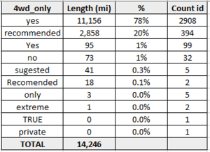
- tags of interest: 4wd_only, can be especialy on track, but can be on secondary, tertiary or unclassified (Gravel roads connecting towns), along with the 'surface=unpaved' tag or tracktype tag.
Based on these, we extracted used tags and we made statistics on them (extracted from OSM).
| 4WD highway types | 4WD_only frequent values | Tracktype values along with '4wd_only' | Tracktype values along with 'highway' | Access values along with '4wd_only' |
|---|---|---|---|---|
OSM and Government Data
We investigated the existing Austalian Data Catalogue to see if there's something regarding 4WD in those sources. We found some, as can be seen in table bellow:
| Province | Main website for data sources | License type | Dataset type | Dataset code for offroad |
|---|---|---|---|---|
| Victoria | https://www2.delwp.vic.gov.au/maps | CC BY 4.0 with waiver | road network | class_code=7 |
| Queensland | http://qldspatial.information.qld.gov.au/catalogue/custom/index.page | CC BY 4.0 - data must be ordered by submitting email address | Baseline roads and tracks | roadtype=7 |
| South Australia | https://data.sa.gov.au/data/dataset | CC BY 4.0 with waiver | roads | class=TRK4 |
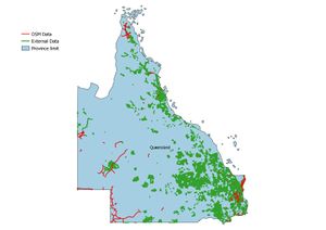
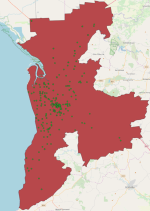
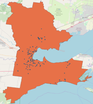
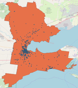
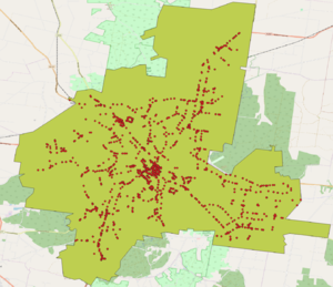
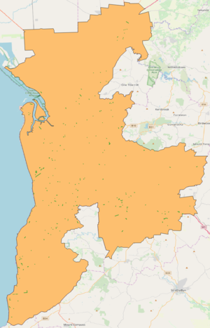
Where we have government data, we compared it with what's in OSM under "4wd_only" tag. We made statistics and maps.
| Province | OSM Stats(miles) | Government Data Stats(miles) | OSM vs. GD map |
|---|---|---|---|
| Victoria | 2.211 | 22.202 | |
| Queensland | 3.164 | 49.347 | |
| South Australia | 1.868 | 8.299 |
Boundaries
Intro
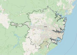
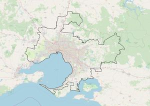
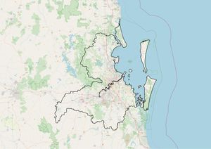
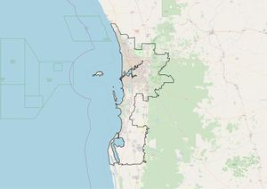
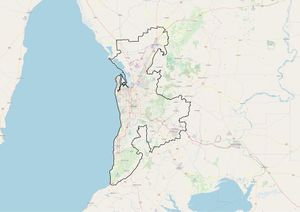
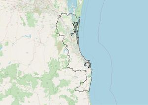
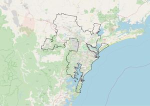
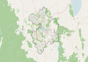
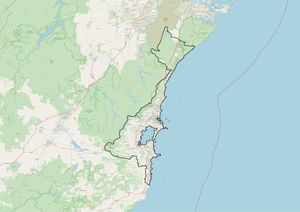
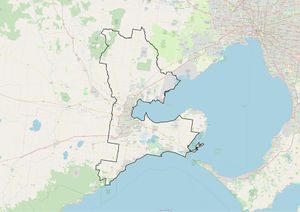
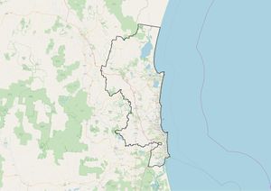
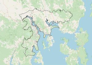
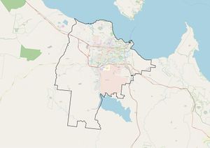
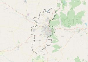
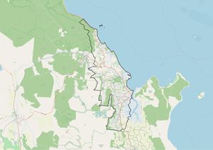
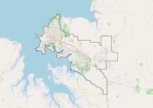
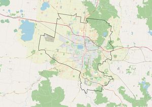
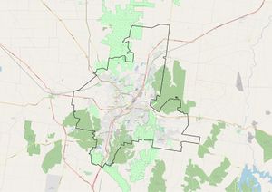
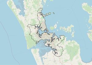
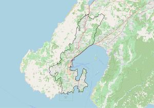
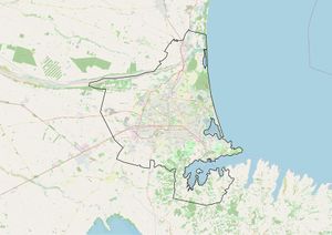
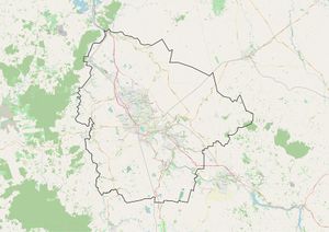
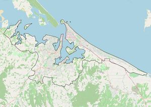
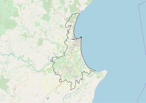
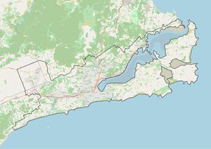
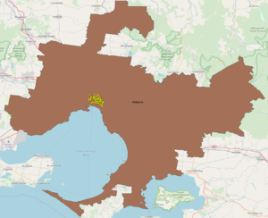
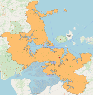
We tried to identify boundaries for provinces and top cities from Australia and New Zealand.
Top 25 Cities
We searched for Governmental Data here to identify city boundaries.
Improve OSM - one way
Intro
ImproveOsm is a JOSM plugin to help you improve the OpenStreetMap by pointing at probable missing geometries (roads, parking, path and water trails), missing traffic flow direction or missing turn restrictions. This plugin is grouping the functionalities of the previous Missing Roads and Traffic Flow Direction plugins and is adding the Missing Turn Restrictions functionality. This allows community members to use just one plugin to get access to all the suggestions about possible missing map elements that we share with the OSM community.
We extracted from Improve OSM data set with one ways, those cases which has status open and confidence level: super, high and okay. We've made some statistics about this, calculate cases and miles that probably could be added.
Top 25 Cities
| Country | City | Miles | Cases |
|---|---|---|---|
| AU | Sydney | 17,93 | 234 |
| AU | Melbourne | 4,39 | 45 |
| AU | Brisbane | 5,3 | 41 |
| AU | Perth | 4,96 | 35 |
| AU | Adelaide | 0,79 | 8 |
| AU | Gold Coast - Tweed Heads | 0,44 | 6 |
| AU | Newcastle - Maitland | 0,32 | 1 |
| AU | Canberra - Queanbeyan | 0,56 | 12 |
| AU | Wollongong | 0 | 0 |
| AU | Geelong | 0,02 | 1 |
| AU | Sunshine Coast | 0,03 | 2 |
| AU | Hobart | 0 | 0 |
| AU | Townsville | 0,12 | 1 |
| AU | Toowoomba | 0 | 0 |
| AU | Cairns | 0,15 | 2 |
| AU | Darwin | 0 | 0 |
| AU | Ballarat | 0 | 0 |
| AU | Bendigo | 0 | 0 |
| NZ | Auckland | 0.58 | 18 |
| NZ | Wellington | 0.26 | 3 |
| NZ | Christchurch | 0.14 | 3 |
| NZ | Hamilton | 0 | 0 |
| NZ | Tauranga | 0 | 0 |
| NZ | Napier - Hastings | 0,05 | 2 |
| NZ | Dunedin | 0 | 0 |
Outside Top 25
| Country | Miles | Cases | Map |
|---|---|---|---|
| Australia | 429,86 | 59 | |
| New Zealand | 5,16 | 20 |
Links
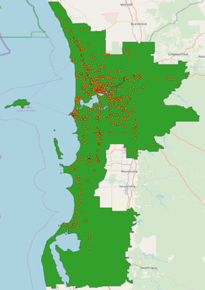
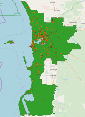
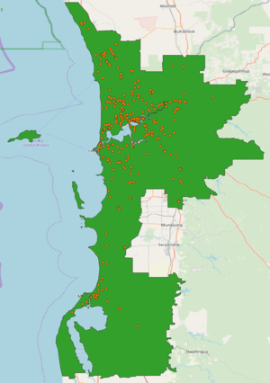
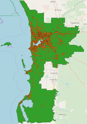
Traffic Signs filtering
Intro
We found traffic signs from Governmental Data for different types of road signs. We asked for approval, and for those we got it, we filtered them with what's already existing in OSM. In the output we have mostly those which are missing and can be used to improve map quality.
Data sets and map features for cities
| Country | City | Features | Data with approval | License | ||||
|---|---|---|---|---|---|---|---|---|
| Turn Restrictions | Speed Limit | One way | Traffic Lights | Stop Signs | ||||
| AU | Melbourne | No data | https://www.data.vic.gov.au/data/dataset/speed-sign-data
https://data.melbourne.vic.gov.au/Assets-Infrastructure/Sign-Panels-Non-Parking-/fzjr-9nrn |
CC BY 4.0 | ||||
| AU | Perth | https://portal-mainroads.opendata.arcgis.com/datasets/signs-regulatory | CC BY 4.0 | |||||
| AU | Adelaide | No data | No data | No data | No data | https://data.sa.gov.au/data/dataset/traffic-signals | CC BY 4.0 | |
| AU | Geelong | No data | https://www.data.vic.gov.au/data/dataset/speed-sign-data | CC BY 4.0 | ||||
| AU | Ballarat | No data | No data | No data | No data | https://www.data.vic.gov.au/data/dataset/speed-sign-data | CC BY 4.0 | |
| AU | Bendigo | No data | No data | No data | No data | https://www.data.vic.gov.au/data/dataset/speed-sign-data | CC BY 4.0 | |
Road Geometry and Road Name
Intro
We found road geometry and road name from Governmental Data for different cities. We asked for approval, and for those we got it, we filtered them with what's already existing in OSM. In the output we have mostly those which are missing and can be used to improve map quality. We used Cygnus to filter them. In brief, Cygnus it's a tool which compares existing OSM data with different open datasets.
Data sets and map features for cities

