User:AcousticNewt/areas/Brondesbury
Brondesbury
An area that approximates to this area
It was drawn pretty much at random in JOSM so doesn't have a particular theme. It covers Brondesbury and goes down to Kensal Rise, probably includes a bit of Kilburn too. I guess I will find out.
Current map
As of 19 December.
Progress
| 12 Dec 2006 | Mowbray to Cavendish (goes to Kilburn high road).
Did Willesden Lane to KHR. Full length of The Avenue, on to Tiverton Road arrived at Queens Park. Parks are great! Pleasant to walk around and look good on the map! Completed a circuit of the park, Chevening r, Milman r, Harvist r and Kingswood r surround it exactly, so should be easy to draw. Back following Chevening r til it meets Chamberlayne Road. Was suprised as this has been in the news as Tornado hit it. Saw some damaged houses one very bad others with plastic over their roof. Chamberlayne turns into Sidmouth rd, which end at Willesden L. |
| 19 Dec | THis is the first time that I've been out mapping with the OSM map loaded onto my GPS.
Milverton Rd, crossed over to Alverstone rd. Stavertone rd on to Mount Pleasant rd on to Dundonald rd NW10. Ends at Wrentham Av, to end. Back to Crediton rd, ends at Okehampton rd. Along to Tiverton rd (sports fields to left) meet part of street already mapped. Along to the end of Chevening, meets Salusbury rd. Did the remaining streets on the 'ladder' to the east of Queens Park. Summerfield av (Dudley rd branches off), Montrose Av, Hopefield Rd. Winchester Av and Dyne Rd. |
| 1 Jan 2007 | Aylestone rd nw6
(passed Queens Park Community school - large on right) L Christchurch av. (Malorees Junior and Infant school on L). LL Manor House dr. - loops back. Back down Aylestone. R Chudleigh rd (L residents only) L Hanover r. L small un-signed rd &back. cross to Leighton gdns FL, meets All souls av RR Hardinge rd: onL College rd, onR Chelmsford. Chamberlyne: onL Trevelyan gdns, onL Egerton gdns L Phillimore gdns, ends at All souls. Donnington rd. R bryan av: onL alexander av, onL rowdon av, meets Peter av nw10. R Chambers l, meets Chamberlayne at the point where Sidmouth starts, just before hanover. |
| 14 Jan 2007 | By sidmouth rd S Hampstead Tennis Club (also mentioned cricket club at same
grounds) Health club just before. Dobree av meets Peter av. L Peter av, onR Willesden Sports Center. L ? L Bryan. L Alexander Av. back along Peter. R Rowdon Av. LL Kings rd loops back 3legs to Harlesden rd Off High rd, onR Ellis Close, onR Richmond Av, onR Poplars Av (sainsburies). Across to Park av. RR Grove rd L Dean r and back. |
| 21 Jan | Heathfield Park (loop back to main road)
(Phillmore) Chelmsford Square (tennis in center) L College rd, oLR Leighton, oR Doyle. L Liddell gdn, oC Bathurst gdn oR Whitmore gdn, oR Leigh gdn, oR Clifford gdn (From college) oL Buchanan gdn, oL Herbert gnd L Doyle gdn, oL Furness r nw10, oR Capital City Academy (need to fix), R Harlesden rd Roundwood Park, out, oR Cemetery Ambleside rd R Roundwood r R Church rd -> High Rd A407 L Belton rd, oLR Chaplin rd, oLR Villiers r R Deacon r, oR Sandringham r |
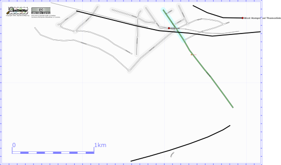
Starting map
This is the area as of 11 December 2006. Unlike in other places I've done there are many segments in place. But not many ways marked and named. Most of the residental roads at the top were added recently by me as there is overlap with another area.

