User:DWOb
Jump to navigation
Jump to search
About me
- I am currently mapping my hometown Uetze as well as the sourrounding area from Eddesse in the south to Hänigsen and Bröckel in the north and up to Burgdorf in the west.
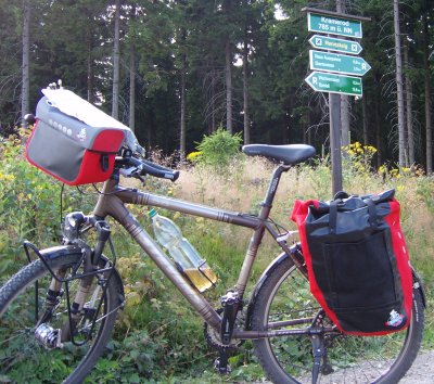
- Usually i am mapping per bicycle using my nokia 6110 navigator to get gps tracks as well as geotagged pictures.
- For viewing OSM on my phone i found gpsmid to work quite well. I also use it to record tracks and waypoints.
- For editing the map on my computer i use JOSM and sometimes potlatch for small changes.
Favourite pages
Uetze
DE_talk:Germany_roads_tagging
Stuff
My mapping area (log in first)
What I've done / currently doing
Last updated: 25.01.2009
Mapping in my area: I've done and am still doing a lot of mapping in my area Currently working on:
- Schwüblingsen/Oelerse and the surrounding area
- Burdorfer Holz
- Irenensee/Spreewaldseen
Mapping elsewhere: Also done mapping elsewhere
- Kassel to Dörnberg
Scottish Islands: I mapped several outer scottish islands using landsat, npe maps and public domain stuff from wikipedia
- St. Kilda archipelago
- Flannan Isles
- Eilean Hasgeir (south-west of St. Kilda)
- North Rona & Sula Sgeir
- Sule Skerry & Sule Stack
- Fair Isle
Other "satellite mapping":
Currently working on:
