User:Gints
Maping Riga, mainly centra / vidzemes parts
Using IPhone for tracks.
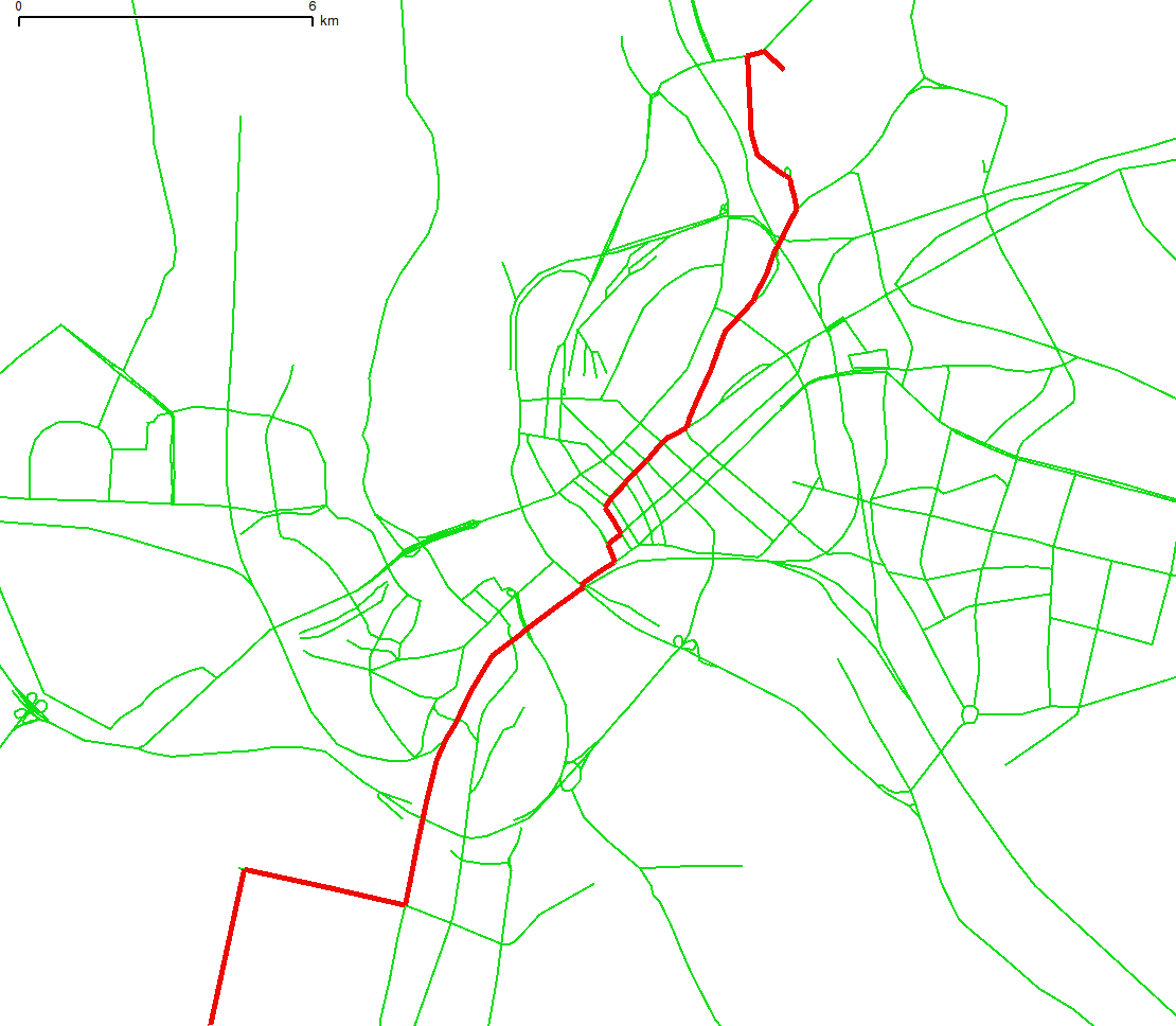
06.06.2007: I manage to export OSM data to grass and calculcate shortest route on riga streets:
Presentation about OSM I made in Latvian language for event is aiviable here - http://linux.edu.lv/uploads/osm_lv_19_05.odp
If you happen to be in Riga, Latvia (Ryanair flies there), on Saturday May 19, 2007, you are welcome to participate in a half-day open source conference (11:00—15:00) at the Linux Center (http://linux.edu.lv/), where mapping and OpenStreetMap is a central theme. The conference is arranged by user:Gints, who is the chairman of Latvia's Open Source Association (http://laka.lv/).
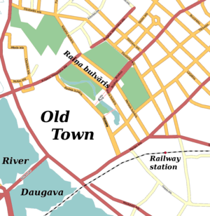
The Linux Center is found on Raiņa bulvāris 19 in downtown Riga. See the map below (click for an enlargement) and also the Linux Center's contact information.
Where to stay? The most affordable and central is probably Argonaut Hostel, located in the Old Town. But there are also many other hostels in town.
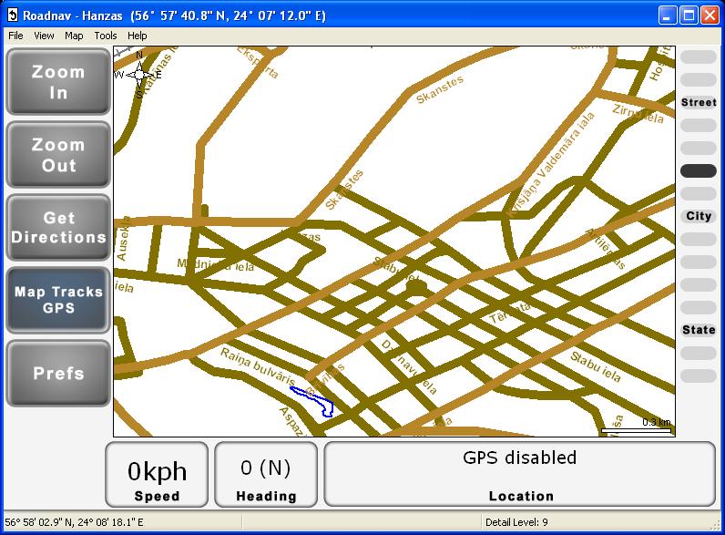
2007.04.05 I import my Riga map into roadnav application. Here is screenshoot -


