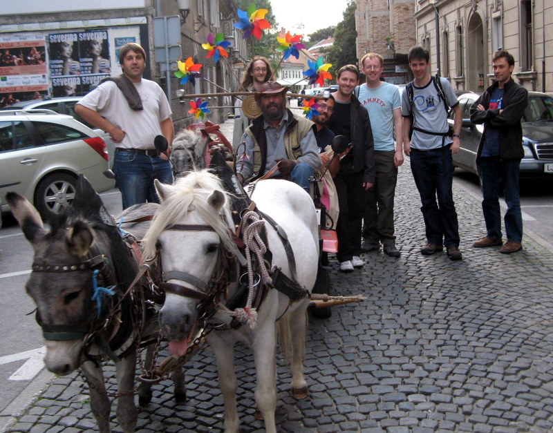
User:Ollie
| ||
This user uses or has experience with a Garmin Forerunner 305 and is willing to answer questions on it from OSM users. |
I'm Ollie O'Brien, originally from Edinburgh but now based in the East End of London.
I'm studying for an MSc in Geographic Information Systems at City University in London during 2007-8.
I'm working as a research assistant in the Department of Geography at University College London during 2008-9.
I'm working as a researcher/programmer in the UCL Centre for Advanced Spatial Analysis in central London.
Thus far I've done plenty of adding and editing feaures on the map, but I haven't yet contributed development work to the OpenStreetMap project - I hope to utilise my basic knowledge of SQL (including administration of MySQL databases), PostGIS, Perl and Python in the future to benefit the project.
Past Individual Surveying
England
- Streets in my immediate vicinity in E1, E2, E8 and E9, London - particularly Homerton, Hackney Wick, Victoria Park Village, Bow, Stepney Green, Globe Town and Mile End.
- Queen Mary (University of London) - Mile End site.
- The developing Olympic Park, site of the main venues for the 2012 Olympics in London.
- Some other bespoke routes, e.g. Telscombe Village in East Sussex, a road in the New Forest, etc.
Scotland
- Some roads in East Lothian and Midlothian.
UK Cycle Networks
- National Cycle Route 1 from Broxbourne to Canary Wharf.
- National Cycle Route 13 from Tower Bridge to Barking, + some detail nearby.
- London Cycle Route 8 from Hackney Wick to Farringdon.
Slovenia
- Some roads in alpine Slovenia, NE of Ljubljana.
Past Mapping Parties
- 1st Ljubljana Mapping Party - Summer 2007 - Part of Tivoli Park just west of Ljubljana, Slovenia.
- Caterham, Surrey - April 2008 - A private mapping party with some City Uni MScs.
- Danbury, Essex - December 2008 - A private mapping party with some UCL PhDs.
- MK Mapping Party - 16th-17th May 2009. Organised a large public mapping party here - 25 people showed up!
Current Technical Work
I have been setting up the Tiles@Home client, and the TaHngo server, on a Mac OS X 10.5 "Leopard" computer, and a Windows Vista one. Still work in progress...
Future Surveying and Mapping Parties
- Continuing to add detail around my neighbourhood.
Future Possible Technical Work
- Creating a Slippymap for the UK data, running Mapnik and a heavily customised style to show (and provide a facility to produce) online Street-O orienteering maps.
Links
National Cycle Network Progress
| Route | Done | Planned | Sections Marked (n) | Notes |
|---|---|---|---|---|
| 1 | (N) Broxbourne - Canary Wharf (S) and (W) Chelmsford - Danbury (E) | (W) Harlow - Maldon (E) | ||
| 12 | (S) Welham Green - Sherrardspark Wood (Route 57) (N) | Welwyn Garden City Interchange. | ||
| 13 | (W) Tower Bridge - Barking Creek (E) | Blocked section at Albert Dock. | Not waymarked except the section that follows the A13 over Barking Creek. | |
| 16 | (W) Basildon - Shoeburyness (E) | If it exists... | ||
| 20 | (N) Wandsworth - Carshalton (S) | The Wandle Trail. | ||
| 61 | (E) West of Hertford - Southwest of Hatfield (W) | Welwyn Garden City Interchange. |
- Sections Marked (n): Some parts of the network are not yet built/passable, and other sections are blocked. Where there are short and obvious alternatives, I have marked these with the route in brackets, i.e. "ncn_ref: (1)" instead of "ncn_ref: 1" for NR 1.
Other sections are not waymarked at all, but are shown as completed on the Sustrans GIS map. In these cases, I've marked these as normal, but users should be aware there is no guidance on the ground.
WikiProject_United_Kingdom_National_Cycle_Network
Sustrans GIS Map centred on London
Sustrans PDF Map of the network in 2007
Sustrans route summaries for NCR 10-99
London Cycle Network
I may look at adding these in too.
| Route | Done | Planned | Sections Marked (n) | Notes |
|---|---|---|---|---|
| 0 | ||||
| 6 | ||||
| 8 | (E) Hackney Wick - Farringdon (W) | Apparently extends further east to Leyton, but not waymarked. | ||
| 9 | ||||
| 16 |
WikiProject_United_Kingdom_London_Cycle_Network
GPS Devices
- Garmin Forerunner 305 (Useful for running/orienteering/cycling, not bad for mapping although can oversmooth.)
NaviGPS BGT-11(Lost in a wood near Nottingham during a race.)- Apple iPhone 3G with GPS (tentative try-out with some logging apps.)
Possible Lightning Talks
I am coming to SOTM 09 in Amsterdam. W00t! I might give a lightning talk, topics I could talk about are:
- Using OSM data as a transparent network layer on top of choropleth maps, e.g. Censusgiv/Schools Atlas.
- Slippy street-O maps with OSM.
- OSGIS is from Venus, SOTM is from Mars? Two communities, one goal.
Contact Details
mail AT oliverobrien DOT co DOT uk
