User:R kleineisel
| Babel user information | ||
|---|---|---|
| ||
| Users by language |
I try to make a free topographic map file for use with Garmin GPS units. I use OSM data for the map and SRTM for contour lines. I try to make the map look like a standard topographic map. The result from my first attempts can be found here:
Currently the map covers Germany and a little of the surrounding countries.
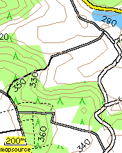
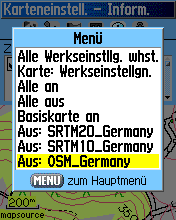
The contour lines are in two separate transparent overlay maps. One ('SRTM20_Germany') contains one contour line every 20 m. This should be good for not overloading the map in mountainous regions. The other one ('SRTM10_Germany') contains additional minor contour lines every 10 m. This is for enhanced precision in flat areas. You can easily switch the layers on and off in the GPS menu (see screenshot 3).
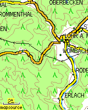
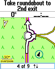
Here are a few screenshots:


