Virginia/VBMP
The Virginia Geographic Information Network (VGIN) Division of the 9-1-1 and Geospatial Services Bureau (NGS) at Virginia Department of Emergency Management provides framework data and other basemap data assets through the Virginia Base Mapping Program (VBMP).
GIS Data
Imagery
VBMP Orthoimagery is displayed in true color (RED, GREEN, BLUE). The spatial reference is WGS 1984 Web Mercator (Auxiliary Sphere). The imagery is tiled at 12 levels from 1:4,622,324 to 1:2,257. The imagery was collected to meet ASPRS Class 1 orthoimagery standards. Most areas were collected at a 1-ft ground sample distance (GSD), with some urban areas upgraded to 6-inch and 3-inch GSD.
License
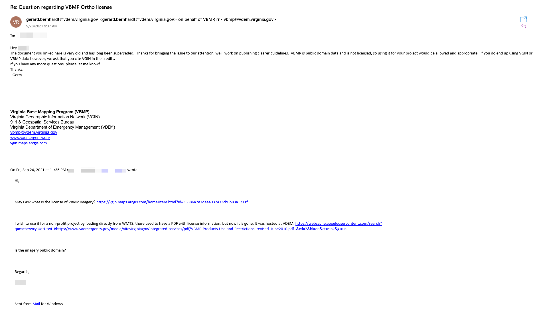
VBMP Geospatial Program Manager Gerry Bernhardt has approved the imagery usage in OpenStreetMap as public domain data with citation "Virginia Geographic Information Network". A proof has been obtained and uploaded to the OpenStreetMap Wiki. 
Usage
VBMP Orthoimagery has been included in iD since 2018. If you wish to use this imagery out of iD, please follow the instruction at https://github.com/osmlab/editor-layer-index.
Also see Virginia/VBMP MapProxy for guidance on using MapProxy