KT13 Weybridge
| V・T・E |
| latitude: 51.37517, longitude: -0.45845 |
| Browse map of Weybridge 51°22′30.61″ N, 0°27′30.42″ W |
| Edit map |
|
External links:
|
| Use this template for your locality |
Weybridge is a town in Surrey at latitude 51°22′30.61″ North, longitude 0°27′30.42″ West.
The KT13 post code area covers approximately Weybridge and St George's Hill. It is bounded to the north by the River Thames, to the west by the River Wey, to the south by the Byfleet Road and to the east by Seven Hills Road and Oatlands Chase.
OSM Coverage
January 2012
As of 25 January 2012, most non-ODBL mapping has been removed from the town so that it can be remapped effectively. The road network has been largely replaced; it is accompanied by bus stops and some other features contributed by mappers who have accepted the ODBL. Mapping of the town is expected to fill out condiderably over the next few months.
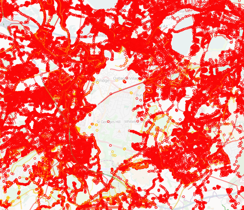
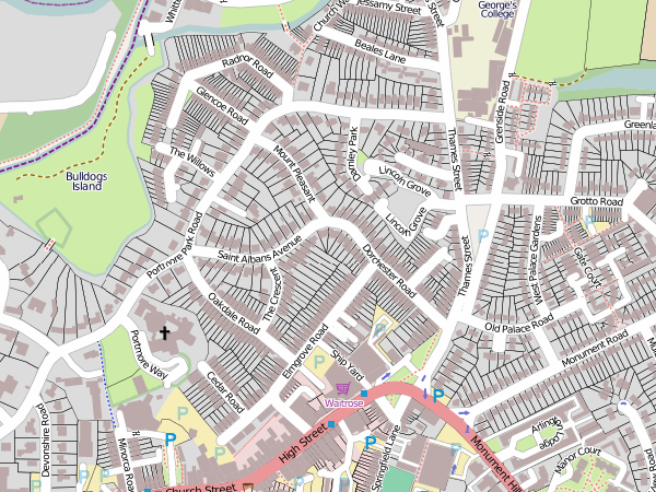
Weybridge Gardens details
This detail of Weybridge Gardens was one of the Featured images back in Dec 2011:
May 4, 2006
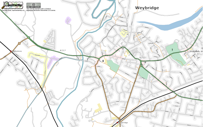
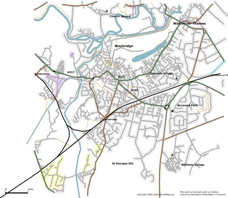
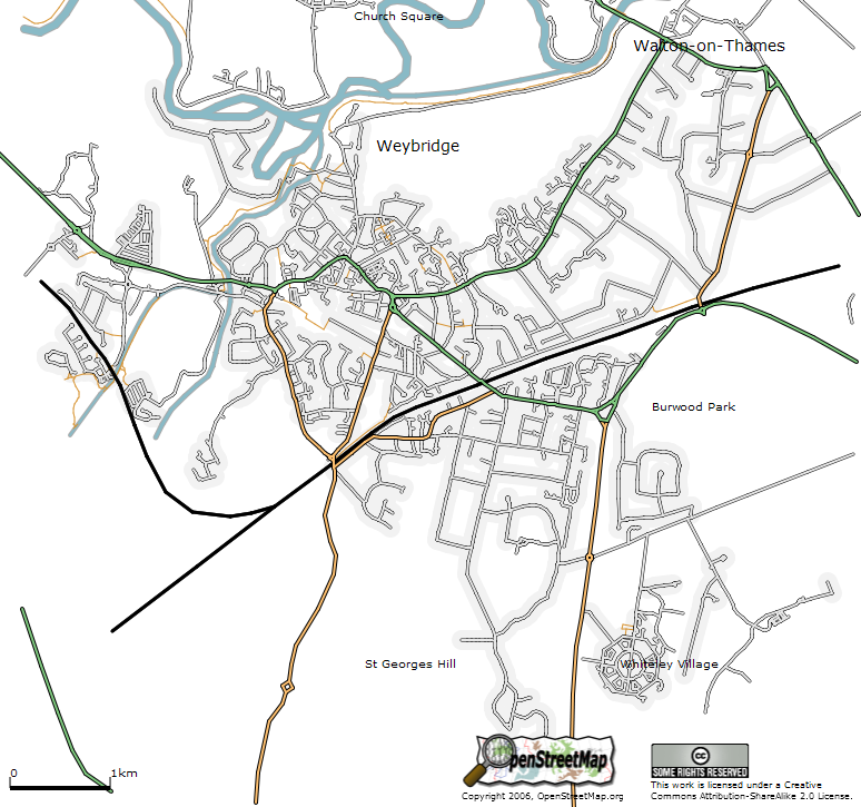
The Weybridge area as at May 4, 2006. New features include some street names, non-rounded street ends, parks and lakes, and symbols for golf courses and filling stations.
A closer view of Weybridge town center.
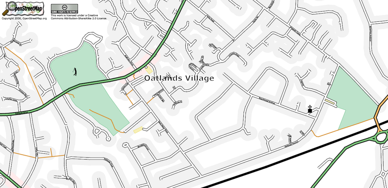
A close up view of the Oatlands Village area of Weybridge.
April 10, 2006
The Weybridge area rendered using Osmarender as at 10 April 2006. About 90% complete. New features include Broad Water lake, one-way streets, churches, railway stations and a lot more streets.
March 19, 2006
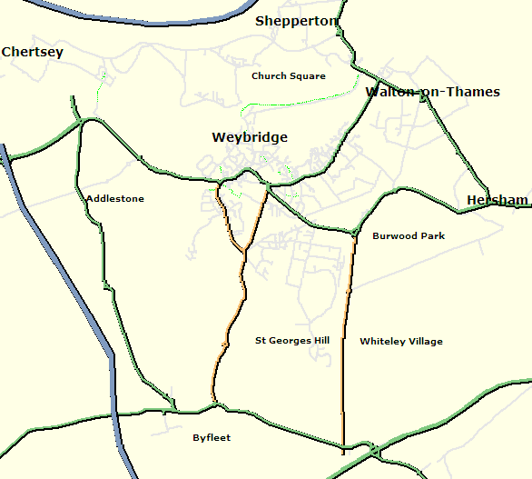
The Weybridge area as at 19 March 2006 (featuring canals, rivers, railways and residential shading)
March 15, 2006
The Weybridge area as at 15 March 2006 (rendered using SVG in Firefox 1.5)
March 3, 2006
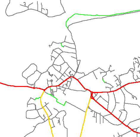
Experiment in colouring roads based on label values (improved version)
March 2, 2006
Experiment in colouring roads based on label values
February 26, 2006
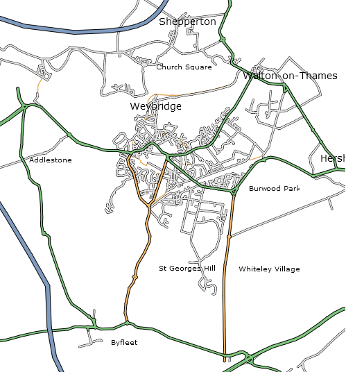
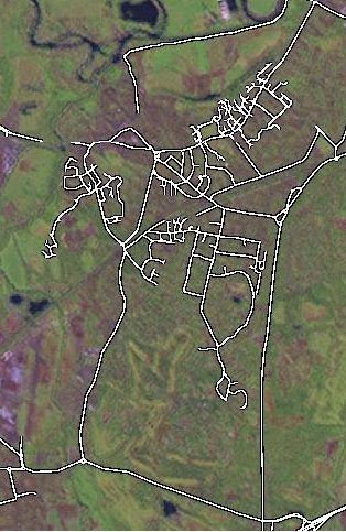
Screen shot of the KT13 area as at 26 February 2006
