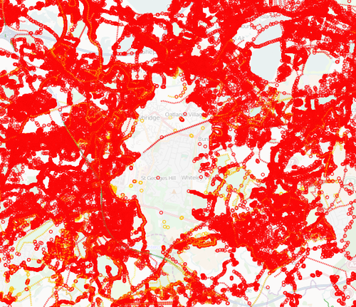
Weybridge Mapping Party Feb 2012
There was a mapping party in Weybridge on Saturday 11th February 2012 (daytime).
This was part of the WikiProject Surrey England#Team Surrey initiative to do some extensive Remapping of the area. The main objectives were:
- Map the town centre thoroughly.
- National cycle route 4.
At some stage it would be useful to survey neighbouring town centres such as Addlestone, Byfleet, Walton on Thames, Shepperton and Esher.
Cake diagram
There was a Cake diagram on MapCraft.
Lunch & Evening pub
We met for lunch at 1pm in The Pub at the Ship, Monument Green (map) and again in the evening from 5pm to late. Feel free to come whether or not you are mapping. If you are new to mapping and want some help come at lunchtime and someone will take you round.
Some results
After the event we can see the massive red problem area now has a hole in the middle of it. Lots more work to do, but it's a start (Note: Actually the hole would've appeared when 80n's old data was deleted before we went to do re-surveying of the area)
