Aosm
| Aosm | ||||||||||||||||||||||||||||||||||||||||||||||||||||||||||||||||||||||||||||||||||||||||||||||||||||||||
|---|---|---|---|---|---|---|---|---|---|---|---|---|---|---|---|---|---|---|---|---|---|---|---|---|---|---|---|---|---|---|---|---|---|---|---|---|---|---|---|---|---|---|---|---|---|---|---|---|---|---|---|---|---|---|---|---|---|---|---|---|---|---|---|---|---|---|---|---|---|---|---|---|---|---|---|---|---|---|---|---|---|---|---|---|---|---|---|---|---|---|---|---|---|---|---|---|---|---|---|---|---|---|---|---|
| Author: | Arktos Media GmbH | |||||||||||||||||||||||||||||||||||||||||||||||||||||||||||||||||||||||||||||||||||||||||||||||||||||||
| License: | (free of charge) | |||||||||||||||||||||||||||||||||||||||||||||||||||||||||||||||||||||||||||||||||||||||||||||||||||||||
| Platform: | BlackBerry OS | |||||||||||||||||||||||||||||||||||||||||||||||||||||||||||||||||||||||||||||||||||||||||||||||||||||||
| Status: | Broken | |||||||||||||||||||||||||||||||||||||||||||||||||||||||||||||||||||||||||||||||||||||||||||||||||||||||
| Website: | http://www.arktosmobile.de/ | |||||||||||||||||||||||||||||||||||||||||||||||||||||||||||||||||||||||||||||||||||||||||||||||||||||||
| Programming language: | Java | |||||||||||||||||||||||||||||||||||||||||||||||||||||||||||||||||||||||||||||||||||||||||||||||||||||||
|
Development of this application has ended |
||||||||||||||||||||||||||||||||||||||||||||||||||||||||||||||||||||||||||||||||||||||||||||||||||||||||
| ||||||||||||||||||||||||||||||||||||||||||||||||||||||||||||||||||||||||||||||||||||||||||||||||||||||||
AOSM (beta.arktosmobile.de/aosm) was a cost-free application running on J2ME and BlackBerry devices. It is now part of the so called Arktus Mobile software that lookups the German telephone book and presents the addresses upon OSM map.
The development of this application has stopped, the original project link does not work anymore, and no new versions have been released since 21-Jul-2008. See also this forum entry.
About the old aosm app
Aosm combines the display of OpenStreetMap map tiles from SD card memory with automatic download of map tiles not found on the SD card, so you can have a whole country like germany on the SD card and yet zoom in as far as OpenStreetMap goes.
GPX Logger
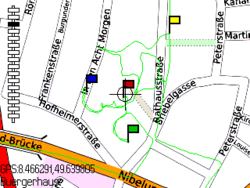
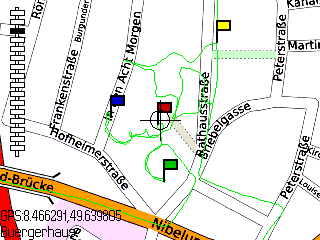
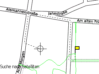
If the phone has a built-in GPS receiver or a Bluetooth GPS-Receiver is available, aosm can be used to create GPX logs for later use in OpenStreetMap mapping. Aosm highlights the current GPS position on the OpenStreetMap display and marks the recent track, so you can easily see where you've already been.
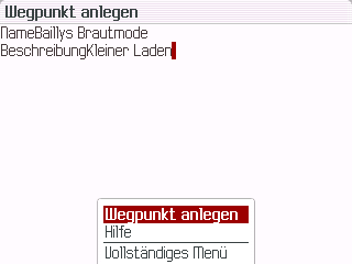
Aosm allows adding waypoints to the GPX log. The name of the waypoint will later become visible when importing the GPX file into JOSM.
OSM Nodes
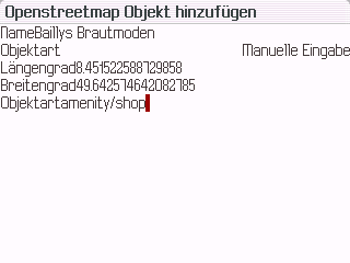
A special OpenStreetMap "Add Node" function allows adding typical nodes like amenity/post_box directly while surveying. That way simple nodes like amenity/telephone or highway/traffic_signals can be handled completely while surveying without the need of post-processing them on the PC later.
Points of Interest
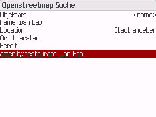
Aosm is combined with a search engine for the german phone book, so phone book entries from the german phone book can be highlighted on the OpenStreetMap. In addition the OpenStreetMap Namefinder is accessible.
Routing
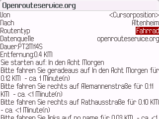
Aosm makes the route services from http://www.openrouteservice.org/ and http://www.yournavigation.org/ accessible directly from the phone.
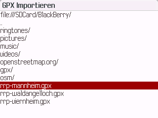
GPX files obtained offline by PC or Web-Software like http://www.radroutenplaner.hessen.de/ can be imported to display the route on the openstreetmap.
Languages
Aosm is currently available in German and English, switching languages automatically depending on the phone's language. Translators for other languages are welcome.
Download
http://www.arktosmobile.de/download/ , one of the A-Mobile_aosm_*.jad|jar files.
Versions:
- *_75: phones implementing JSR 75: PDA Optional Packages
- *_82: phones implementing JSR 82: JavaTM APIs for Bluetooth
- *_75: phones implementing JSR 179: Location API
- *_A780: Motorola A780
Files ending with u are unsigned.
There are also beta versions (1.4.28, 09-Feb-2009) under http://beta.arktosmobile.de/d/ .

