Completeness/example - Other languages
Following presents a partly hypothetical example of how one urban area's mapping could have progressed. Generated with Kosmos and with styles somewhat imitating the Osmarender-layer.
Where's this?
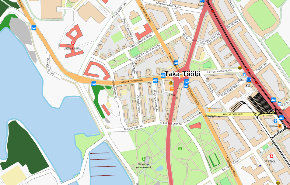
The example depicts a part of Taka-Töölö, the oldest suburb of Helsinki - now considered by most a part of the central area. As Helsinki and the neighboring region was - at the time this was written - the only area with aerial images available and many OSM users back then stated that they live in the city center, this area was likely the most complete area one could find in Finland. The city center itself might have an even bigger data density, but offers less visual elements for this kind of example.
Current state?
In November 2007 I thought that I didn't have anything to map near my home, but this has since proved not to be the case - when I haven't had any piles of photos to process, from journeys further away, there has always been something to add.
Is it complete? By no means!
- almost half of the house numbers are still missing
- some areas of vegetation haven't been classified
- coastline is from aerials and might be offset in places
- some routes through the apartment buildings' yards are likely missing - and fences limiting such routes, too
- restaurants are only mostly in place - other POIs too
- building entrances could be added
- there isn't a single man_made=surveillance tagged but bound to be present
- postal codes are missing
- some park footways might still get a surface=unpaved
The evolution of the example area
|
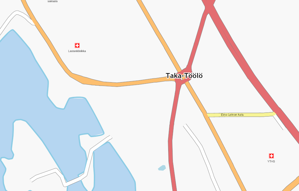
Example of what a first pass in the area could have looked like. Main through routes were added but the driver didn't have time to get the street names but he did add the oneway tags where needed.
|
|
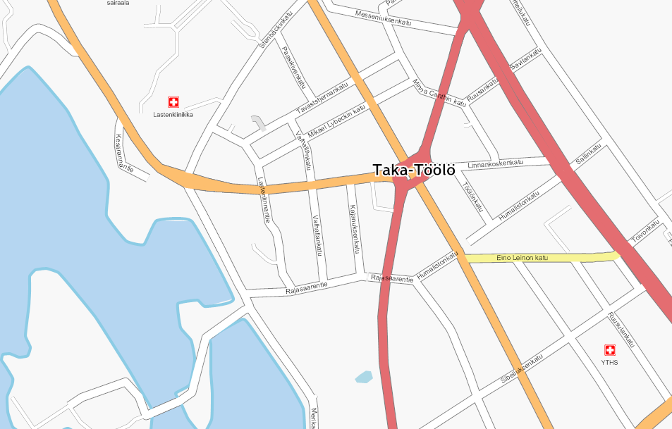
A second pass of mapping usually adds the residentials and their names.
|
|
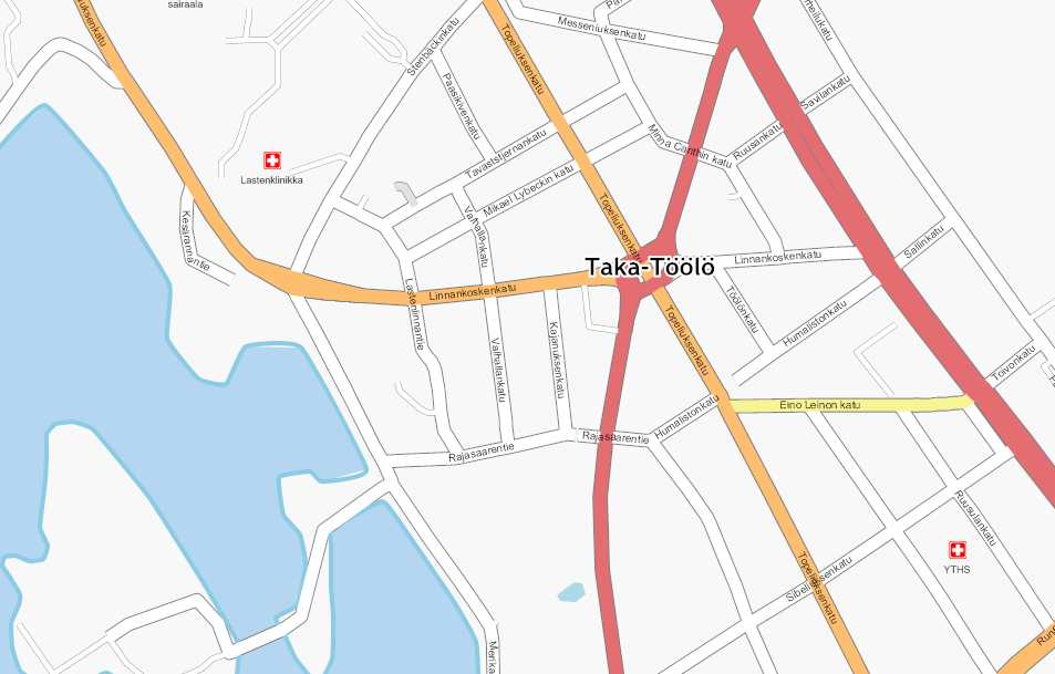
On a third pass of mapping the busy main roads got their names, too.
At this stage the state of the map could be called "complete" for the first time, if the criteria is what other OpenStreetMap contributors minimally expect.
|
|
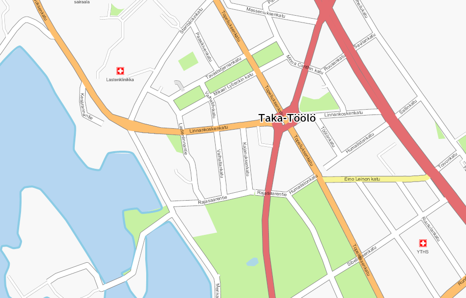
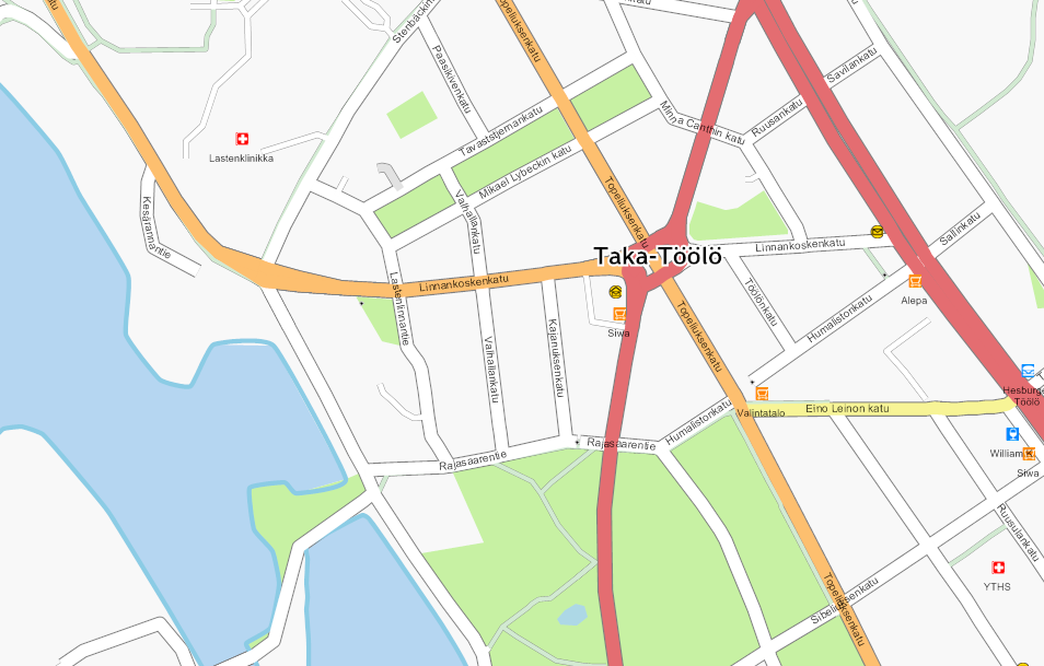
Then someone added all the parks.
|
|
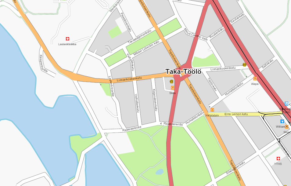
A bicycle was needed for the next stage, where cycleways and some post boxes and other POIs were added. Bollards, too!
|
|
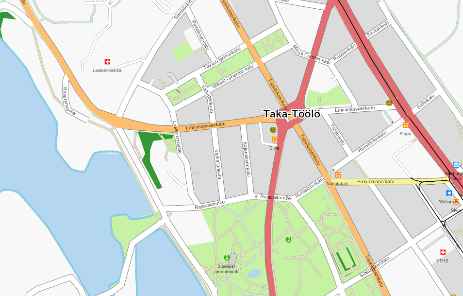
Then someone came and added residential areas by memory, and likely most of the speed limits. They also drew most of the tram lines based on the roads and local knowledge.
|
|
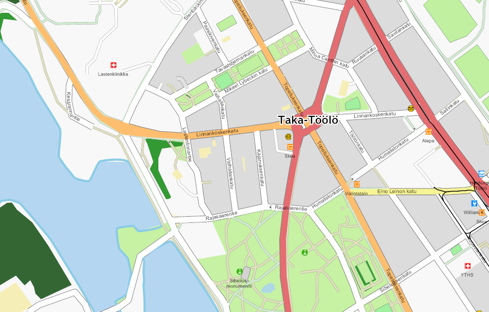
The biker got out once more and added most of the footways in the parks and some scrubs. Taking lots of photos (several hundred for this region) he got enough material for weeks of drawing time.
|
|
With the extrusion feature of JOSM and some photos it was then easy to add pitches and parking areas in the correct shape. Numbers of lanes, traffic signals and turn restrictions were added, too. A national cycle route running along the coast was added to a relation started further away.
|
|
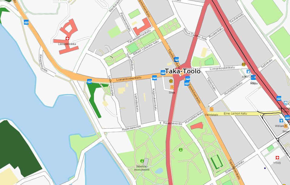
With careful measuring and make-do-triangulation the important buildings were placed - and some bus stops and the like added. Up to this stage the street positions were adjusted in places.
|
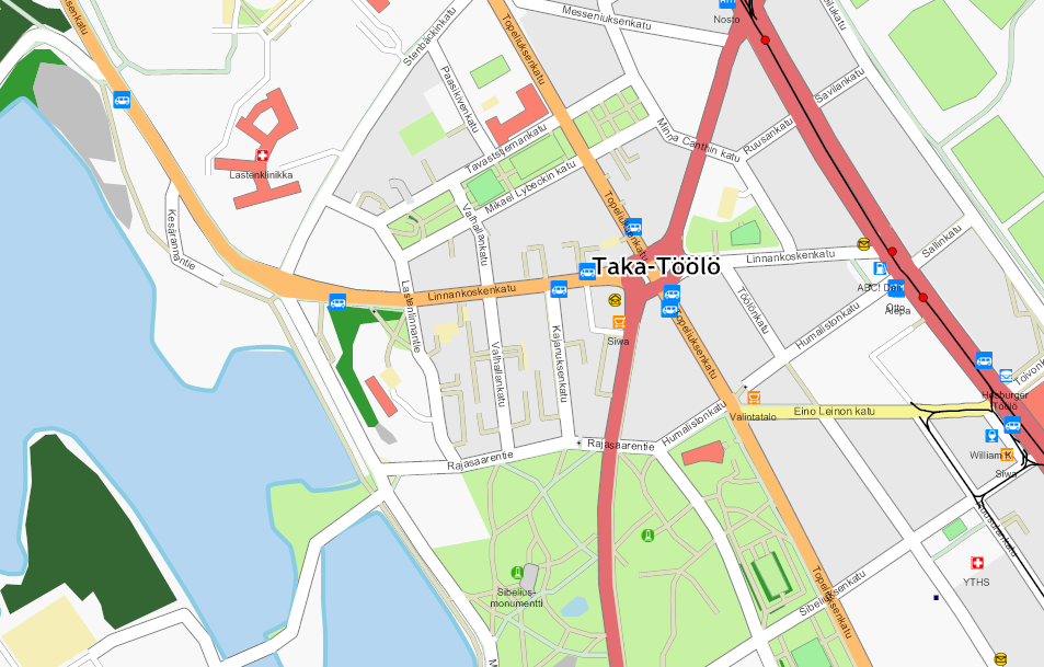
|
The wacko cyclist then decided to take a peek at apartment buildings' yards - and to add the footways leading therein.
|
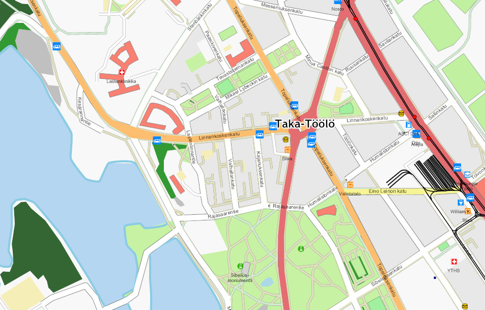
|
Someone with time to spare started adding all the sidewalks as footways positioned roughly the correct distance from the road centerline and with all the pedestrian crossings on the intersection nodes. A tram depot got the service tracks, too along with the doubled tram tracks, one for each direction, that is.
|
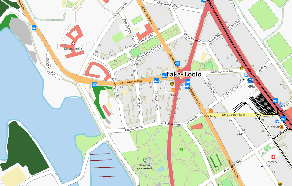
|
Then going through the photos once again, it was easy to add most of the house numbers.
|
|
With aerial images and "orthogonalize shape" feature the rest of the building were added, too.
|
Reality of the example area
In reality most of the streets and buildings were first traced from aerial images, and only later corrected with traces and excessive amounts ground photos. Without the ground surveys the straight roads would still have 10 to 20 meters offset and corresponding unrealistic curves. Also missing would be at least
- most of the tram tracks
- turn restrictions
- most of the footways, cycleways and crossings
- almost all house numbers
- parking areas
- POIs
- playgrounds, pitches


