Featured Images/Jan-Mar 2019
Jump to navigation
Jump to search
These are featured images, which have been identified as the best examples of OpenStreetMap mapping, or as useful illustrations of the OpenStreetMap project.
If you know another image of similar quality, you can nominate it on Featured image proposals.
| ← from January to March 2018 | ← from October to December 2018 | from April to June 2019 → | from January to March 2020 → |
Gallery of featured images, from January to March 2019
Details and captions
Week 1 (from Monday 31 December 2018 to Sunday 6 January 2019) [Edit]
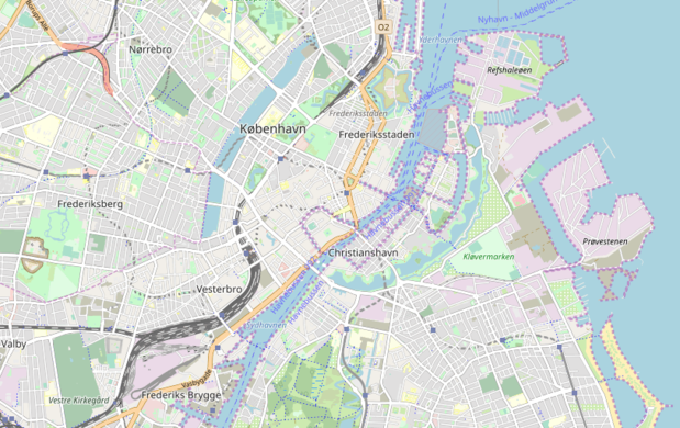
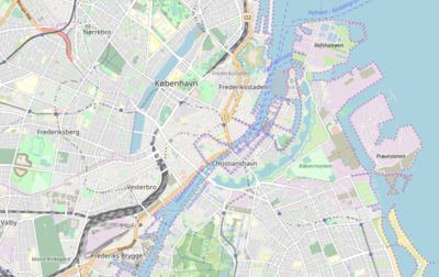
- English : The Copenhagen map is featured on the Danish movie "Den skyldige" (The guilty). In the movie a police officer tries to find a kidnapped woman by tracking her phone location. See some scenes with OpenStreetMap in the trailer.
Week 2 (from Monday 7 January 2019 to Sunday 13 January 2019) [Edit]
- English : No image was featured this week.
Week 3 (from Monday 14 January 2019 to Sunday 20 January 2019) [Edit]
- English : No image was featured this week.
Week 4 (from Monday 21 January 2019 to Sunday 27 January 2019) [Edit]
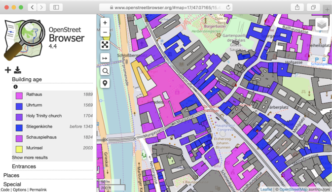
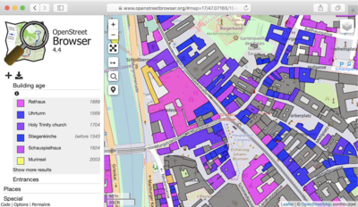
- English : OpenStreetBrowser recently added new features including colourising by building age, which looks great in places where it is mapped (with Key:start_date), such has here in Graz, Austria [1]
Week 5 (from Monday 28 January 2019 to Sunday 3 February 2019) [Edit]
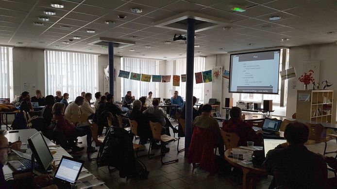
- English : Paul Desgranges giving a talk introducing OpenStreetMap at Flosscon Grenoble this weekend.
Week 6 (from Monday 4 February 2019 to Sunday 10 February 2019) [Edit]
- English : A map of the Brumadinho dam disaster. OpenStreetMap contributors were able to use Sentinel-2 imagery to produce a detailed outline of the mudflow, within days of the disaster. This map, on an OpenTopoMap base map, illustrates the wikipedia article.
Week 7 (from Monday 11 February 2019 to Sunday 17 February 2019) [Edit]
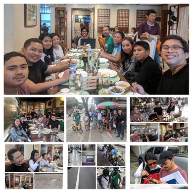
- English : A big mapping party in Marikina, Metro Manila, Philippines. The Lilac Street area was divided up and mapped in detail as described on GOwin's diary
Week 8 (from Monday 18 February 2019 to Sunday 24 February 2019) [Edit]
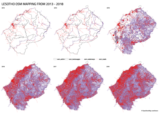
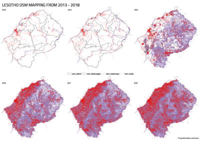
- English : Tremendous progress from 2013 to 2018 in the African country of Lesotho, mapping roads (red), and waterways (purple). Learn more on the MapLesotho site
Week 9 (from Monday 25 February 2019 to Sunday 3 March 2019) [Edit]
Week 10 (from Monday 4 March 2019 to Sunday 10 March 2019) [Edit]
- English : Tobler Society Mapathon at the University of Chicago. Students started the first Chapter of YouthMappers in Chicago earlier this year.
Week 11 (from Monday 11 March 2019 to Sunday 17 March 2019) [Edit]
- English : Can the local community's open data mapathon make OSM the best road map of Kosovo in one weekend?
Week 12 (from Monday 18 March 2019 to Sunday 24 March 2019) [Edit]
- English : Roof top solar panels in Nottingham's Aspley Estate. After an experiment trying to spot them in aerial imagery, many are now mapped and shown nicely on Open Infrastructure Map

