Freemap
Jump to navigation
Jump to search
It has been proposed that this page be deleted or replaced by a redirect. See the discussion page for further information.
The given reason is: The website is broken. --Nakaner (talk) 10:20, 4 February 2025 (UTC).
The given reason is: The website is broken. --Nakaner (talk) 10:20, 4 February 2025 (UTC).
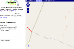
Freemap (https://www.free-map.org.uk/) is a custom OSM renderer which aims to provide output from OSM data with particular emphasis on countryside users and walkers. Due to resource limitations it is currently restricted to England and Wales.
Its author is Nick Whitelegg. OSM data, stored in a standard PostGIS database, and Ordnance Survey LandForm PANORAMA contours are rendered using Kothic JS.
Coverage
England and Wales
Availability
Due to requests from outside the OSM community, Freemap is now back, but as a pure renderer rather than a complete application with bells and whistles. It is now hoped to focus on improving the rendering itself. See here.
Other "Freemaps"
free-map.org.uk might be confused with other projects of a similar name:
- Freemap Slovakia - Slovakia OSM map with customizable POI layer
- http://www.freemap.co.il/roadmap/ - see RoadMap Editor
