GeorgeMap
Jump to navigation
Jump to search
It has been proposed that this page be deleted or replaced by a redirect. See the discussion page for further information.
The given reason is: Source code or binaries are not available. It seems that this application was an idea which has never been implemented completely. --Nakaner (talk) 10:14, 4 February 2025 (UTC).
The given reason is: Source code or binaries are not available. It seems that this application was an idea which has never been implemented completely. --Nakaner (talk) 10:14, 4 February 2025 (UTC).
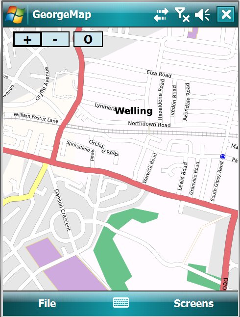
GeorgeMap is an application for the Windows Mobile PDA/Pocket PC. Its main purpose (at the moment) is to fill in missing street names where the streets have already been traced.
Summary
- Homepage : Google Code (Defunct)
- License Type : Freeware (willing to GPL if any serious interest...)
- Opensource : Yes, BSD
- Target platform : Windows Mobile 5 and 6
- Requirements : Mobile internet connection & Compact Framework 3.5 (and ideally GPS)
- Dev. language : c#
- Current status : developing. Last update 12 Feb 2008
- Developer : GeorgeStyles
Features
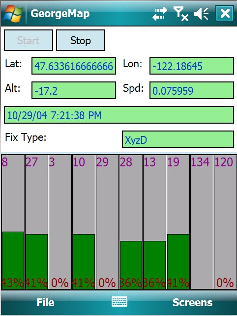
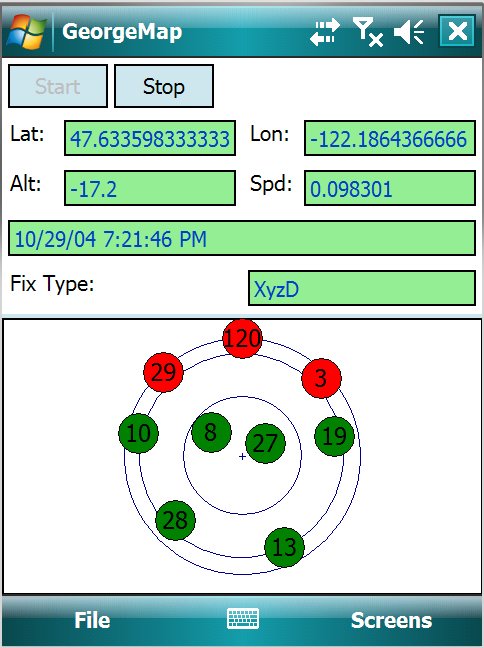
- GPS Support (using WM GPS driver)
- Display OSM tiles from MapNik, OSMARender, CycleMap or CloudMade
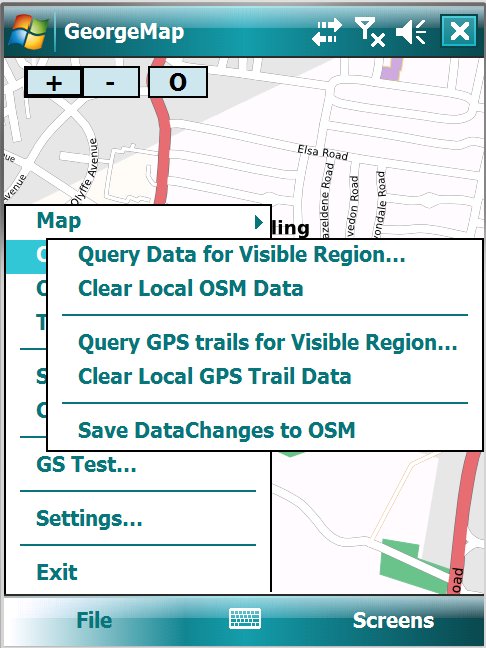
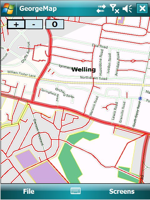
- Query OSM for streets and nodes in the visible area
- Displays unnamed streets in red, named ones in green (and ones named by you in lighter green so you can see the difference you are making)
- Can query GPS points (although until I add node editing, that is kind of useless)
- Program can check for newer versions and automatically install them (if you ask it to...)
- Multi-threaded - tiles /data are downloaded in the background, as are uploads of changes.
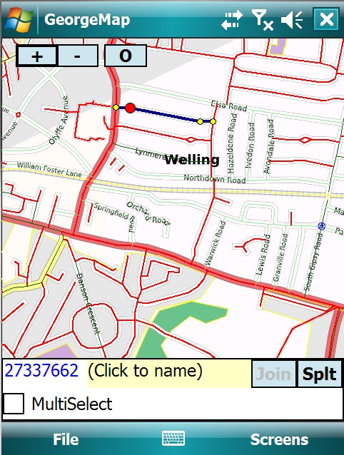
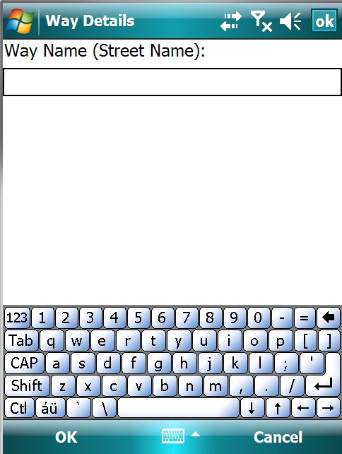
- Ability to name unnamed streets (or change the name of existing ones)
- Offline edit model - edits are held in the phone until you choose to sync them. This is needed because mobile coverage is not 100%
- Split / join ways (join dosent quite always work properly yet)
- Current GPS trail overlaid on map so you can see where you have been (plan to upload trails to OSM in near future)
To do
- Node editing / add / delete / add and remove from way
- Upload GPX trails
