Heathrow
| V・T・E |
| latitude: 51.46, longitude: -0.45 |
| Browse map of Heathrow 51°27′36.00″ N, 0°27′00.00″ W |
| Edit map |

|
|
External links:
|
| Use this template for your locality |
Heathrow is a village in Greater London, England at latitude 51°27′36.00″ North, longitude 0°27′00.00″ West. It is home to the biggest/busiest UK commercial airport. Heathrow Airport is commonly used as an example location when investigating quality of a map provider.
Mapping
Heathrow airport continues to develop with new construction areas. We're pretty good at getting the new stuff added very quickly.
One thing we could add more detail with is internal POIs. Like any airport, the terminals (particularly the newer ones) are full of ghastly shopping malls. So far we haven't mapped many of the shops inside (Tag:shop=mall#Shops within a mall) . There's also toilets, telephones, etc. Positioning is a challenge of course. Probably more so than in normal shopping malls. Roof shapes of Heathrow airport won't offer many clues.
Heathrow in March 2008
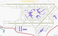
By March 2008 we had very good coverage of heathrow airport, and we took great pride in mapping out the arrival of the new Terminal 5 building and road connections before any other map providers.
Heathrow in August 2006
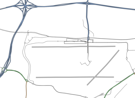
We have some nice ancient images here which are of historical insterest. Very old maps from OpenStreetMap in August 2006!

