Osmarender
Jump to navigation
Jump to search
| Osmarender has not been actively maintained since March 2012 and was discontinued as a main Slippy Map layer on openstreetmap.org around that time. |
| Osmarender | ||||||||||||||||||||
|---|---|---|---|---|---|---|---|---|---|---|---|---|---|---|---|---|---|---|---|---|
| License: | GNU GPL | |||||||||||||||||||
| Platforms: | Windows, macOS, and Linux | |||||||||||||||||||
| Status: | Broken | |||||||||||||||||||
| Language: | English
| |||||||||||||||||||
| Source code: | https://svn.openstreetmap.org/applications/rendering/osmarender/ | |||||||||||||||||||
| Programming languages: | C++ and Python | |||||||||||||||||||
| ||||||||||||||||||||
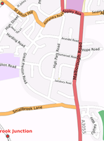
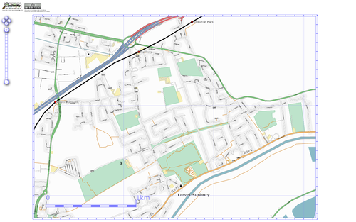
Osmarender is a rule-based rendering tool for generating SVG images of OSM data.
It takes as its input an OpenStreetMap dataset and a rules file. It outputs an SVG image that is marked up in accordance with the styles defined in the rule file.
If you want to get Osmarender and start using it then refer to the following pages:
- The quick Howto is for the impatient.
- Options affect the way the whole map is rendered.
- Rules are used to describe which OSM features should be rendered in what way.
- The Layers section explains how Osmarender uses OSM layers.
- Osmarender knows about certain special tags to improve rendering in cases where the default rendering isn't optimal.
- Symbols explains how symbols (icons) can be added to Osmarender maps.
- Areas shows how Osmarender render areas.
- We have also a useful collection of tips and tricks to tweak Osmarender's output.
- See some examples of Osmarender maps.
- Read the SVG section if you want to know more about Osmarender and SVG. You'll also find some SVG-related links there.
- See the Projection page for details on how Osmarender does map projection.
- Look at the Development page if you are interested in some details of how Osmarender works or want to improve it.
- or/p is a 100% compatible Osmarender implementation in Perl.
- See Osmarender/NewFeaturesProposal for features which may be implemented in future.
- Osmarender Frontend is a GUI to tweak Osmarender's rule file in a browser
See also
- Clopin - A rules set and scripts for displaying a route layer on a slippy map.
- tiles@home - A discontinued distributing rendering project that makes extensive use of Osmarender
- Osmarender bug
- Osmarender Styleguide
Subpages
- Osmarender/Areas
- Osmarender/BezierCurves
- Osmarender/Convert osm data from OSM file to an SVG image
- Osmarender/Creating maps of Indian districts
- Osmarender/Development
- Osmarender/Development/SVN Reorganization 2008
- Osmarender/Examples
- Osmarender/Frollo
- Osmarender/Layers
- Osmarender/LocalizedMaps
- Osmarender/Localized maps with Osmarender
- Osmarender/Making the nestoria tiles
- Osmarender/NewFeaturesProposal
- Osmarender/OldSymbolsFormat
- Osmarender/Options
- Osmarender/Projection
- Osmarender/Proposal Temporary Tags
- Osmarender/Rules
- Osmarender/SVG
- Osmarender/Symbols
- Osmarender/Tags
- Osmarender/TextFitting
- Osmarender/Tips
- Osmarender/orp
- Osmarender/svg open09

