JOSM/Plugins/GraphView
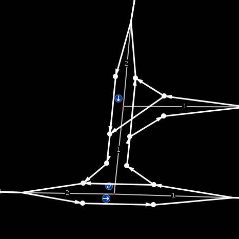
GraphView is a plugin for JOSM that visualizes routing information. It is intended to help mappers spot errors that affect routing but not show up in ordinary maps. GraphView also offers a feature to color the graph based on tags (such as maxspeed) for a quick overview of tagging in an area.
Usage
- After installing GraphView toggle Windows > Graph View Dialog to enable GraphView control panel on the right
- Click "create/update graph" to create a new layer with a routing graph
You can configure some aspects of the routing graph (e.g. the vehicle to create the graph for) directly in the control panel. The GraphView preference settings offer more options.
Feature support
GraphView currently supports
- access tags and oneway=*
- vehicle/road properties (maxweight, width, incline, ...)
- basic turn restrictions
- barriers on way nodes (barrier=*)
- implications for highway values (as documented on OSM_tags_for_routing/Access-Restrictions) for default and German rules
Not yet implemented are
- implications for highway values in other countries
- implied maxspeeds (as documented on OSM_tags_for_routing/Maxspeed, requires reliable urban/rural distinction)
- except=* on turn restrictions
- conditional tagging (see Conditional Restrictions)
Warning
While this plugin can help you to find possible errors, it is not authoritative and not guaranteed to be consistent with the wiki and real-life routing software. In fact, it is likely that there will be differences. Do not blindly trust this plugin!
If you find bugs in GraphView that are not caused by missing features from the "not yet implemented" section above, please add a notice to the talk page.
