Key:3d_printing
Jump to navigation
Jump to search
| Description |
|---|
| Which kind of 3D printing is performed. |
| Used on these elements |
| Useful combination |
| Status: in use |
| Tools for this tag |
|
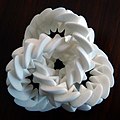
Which kind of ![]() 3D printing is performed by a company, office or industrial entity.
3D printing is performed by a company, office or industrial entity.
How to map
Tag the feature with 3d_printing=*
Examples
Possible combinations
LOADING TAG LIST...


