Key:contamination
Jump to navigation
Jump to search
| Description |
|---|
| Specifies the material or substance that caused the contamination |
| Group: hazards |
| Used on these elements |
| Requires |
| Status: in use |
| Tools for this tag |
|
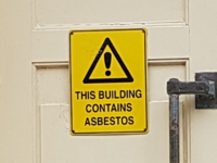
The tag contamination=* is used with hazard=contamination to specify what material or substance the area is contaminated with. For example, asbestos or arsenic.
For a list of common values, see taginfo.
