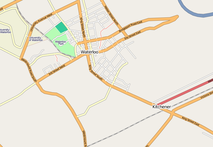
Kitchener-Waterloo mapping party
| V・T・E |
| latitude: 43.4587, longitude: -80.5129 |
| Browse map of Kitchener-Waterloo 43°27′31.32″ N, 80°30′46.44″ W |
| Edit map |
|
External links:
|
| Use this template for your locality |
Kitchener-Waterloo is a city in Ontario, Canada at latitude 43°27′31.32″ North, longitude 80°30′46.44″ West.

When
We'll have a mapping party on Software Freedom Day 2008, Saturday, September 20th and 21st, 2008.
Where
In and around Kitchener-Waterloo in Waterloo Region in Ontario.
What
We'll improve the map of K-W by adding more streets and points of interest.
Contact
Ralph Janke (txwikinger)
txwikinger@ubuntu.com
+1 226-747-4672
Meeting places
Sat 20th September 9:00a-10:00a @ Tim Horton's, 607 King Street West, Unit #205B (map), in the same plaza as Zeke's (see next line)
Sat 20th September 12:00p-13:00p @ Zeke's Feed and Fuel Restaurant, 607 King Street West, Apt#1, Kitchener, ON N2G 1C7 (map)
Who
Please enter yourself here if you intend to participate and state if you have a GPS tracker.
Ralph Janke (txwikinger) GPS - yes available transport=car, foot
Adam Glauser (aglauser): GPS - yes, available transport=car, bicycle, foot
Denver Gingerich: GPS - yes, will be mapping by car with a pre-arranged driver