MapTiler
MapTiler (maptiler.com) is a global map service provider and software development company. MapTiler team is the original author and the main contributor to the OpenMapTiles project; they also contribute to MapLibre, OSMNames, and other open-source projects.
Tools and products
- Base maps
- Satellite maps
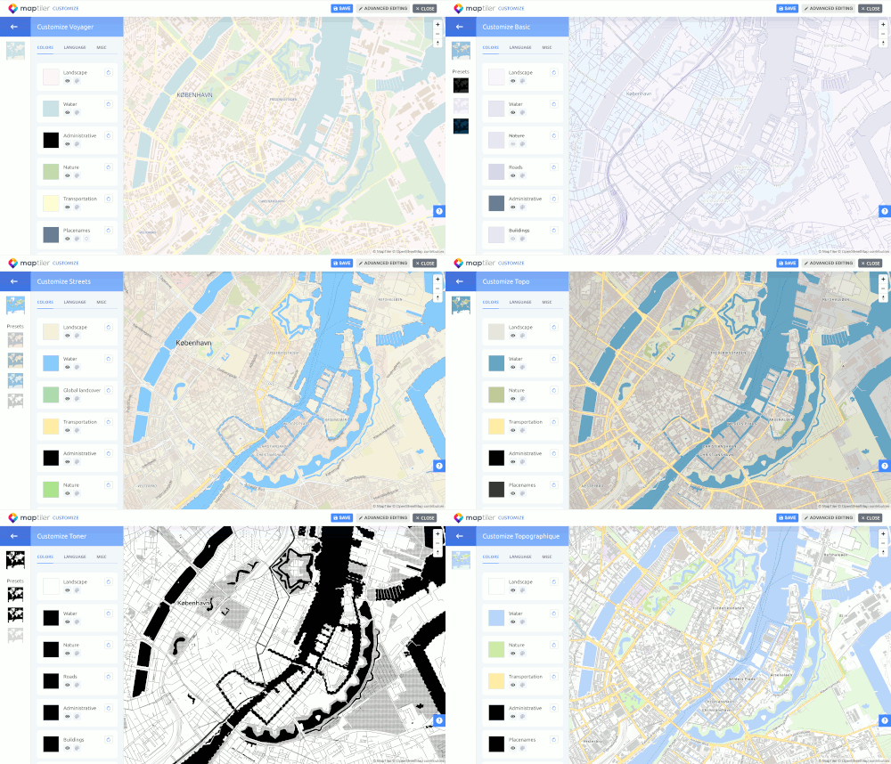
- Map designer tool
- Geodata hosting
- Vector data editor
- Geocoding
- Static maps API
- 3D terrain - 3D map tiles for Cesium JS
- Map Server for self-hosting - software for running maps from own server
- Geodata for self-hosting - global map data from OpenStreetMap
- MapTiler Desktop - software for converting data into maps
Open-source tools
- OpenMapTiles
- epsg.io - database of all spatial coordinate systems
- TileServer GL - map tile server based on node.js
- TileServer PHP - map tile server based on PHP
- WebGLEarth - 3D globe in WebGL
- OSMNames - geocoding service
Maps
Most of the maps are based on OpenStreetMap data; some have additional Natural Earth data on lower zoom levels and town labels from Wikidata.
- Streets - a general-purpose map with highlighted road infrastructure
- Satellite - a mixture of satellite and aerial imagery with labels and streets from OSM
- Basic - map containing only basic information
- Dark and Light - map styles designed as a discreet background for additional geodata
- Outdoor - a map with hiking trails and biking routes
- Winter - topo map for winter outdoor sports
- Topo - maps with contour lines and hillshading, designed for movement in terrain
- 3D - to show any of the maps above in three dimensions
Maps in custom coordinate systems
MapTiler maps are provided in standard Mercator projection. For specific use-cases, there are maps based on OpenStreetMap in local coordinate systems, namely in:
- WGS84
- French Lambert
- Swiss EPSG:2056
- Dutch RD-New
- ... and others
Maps from other open-data sources
Apart from maps based on OSM, there are local maps based on government open data:
- Ordnance Survey maps of Great Britain
- Map of Japan with government road data
- Map of the Netherlands
Languages
Country names and city labels are available in more than 70 languages. It is also possible to display labels in the local language and language of your preference. This option is widely used, especially for non-Latin alphabets.
Supported libraries
MapTiler maps can be browsed in web or desktop applications
- Leaflet - raster tiles, vector tiles via a plugin
- OpenLayers - raster tiles, vector tiles via a plugin
- MapLibre GL JS - vector tiles
- Mapbox GL JS v1.x - vector tiles
- Cesium - raster 3D tiles
- WMTS - for QGIS, ArcGIS, or other desktop GIS software
- QGIS plugin

