Mkgmap
Mkgmap is a command line utility that converts OpenStreetMap data into vector maps that can be loaded onto a Garmin GPS device. It does the conversion in one step without depending on any other program. Mkgmap only supports the OSM map data format.
Mkgmap main features
| mkgmap | ||||||||||||||||||||
|---|---|---|---|---|---|---|---|---|---|---|---|---|---|---|---|---|---|---|---|---|
| License: | GNU GPL | |||||||||||||||||||
| Platforms: | Windows, Linux, and macOS | |||||||||||||||||||
| Version: | 4587 (2020-10-22) | |||||||||||||||||||
| Website: | http://www.mkgmap.org.uk | |||||||||||||||||||
| Source code: | http://www.mkgmap.org.uk/svn/list | |||||||||||||||||||
| Programming language: | Java | |||||||||||||||||||
|
Make OSM maps for your Garmin device |
||||||||||||||||||||
| ||||||||||||||||||||
- Creates maps for Garmin GPS devices using OSM data (see Mkgmap/known issues for notes on compatibility)
- Full control which OSM data is integrated into the map (style system)
- Full control how POIs, streets and all other elements are displayed (TYP file compiler)
- Full address search support
- Routing support
- Many options for fine control over the map creation process
- Can include hill shading using Digital Elevation Model (DEM) data
Download
Get the latest version from the mkgmap download page. To see what has changed recently see the mkgmap news page.
- Warning for Ubuntu / Debian / Other linux distributions
Some Linux distros package mkgmap. Be aware that the packaged version often is very old though. You will be better off using one of the versions linked to above. If you experience problems, do yourself a favour and check the version.
Creating a map
Creating a map consists of several steps.
- Download OSM data
- Split the OSM data into tile using the tile splitter
- Create your own map style files (optional)
- Compile the tiles with mkgmap
- Upload the map to your GPS
Command line options
There are several mkgmap options to configure the details of how mkgmap creates the map. For a complete list see the complete option list (which may be outdated) or run
java -jar mkgmap.jar --help
There are some scripts for Unix users which might be helpful: Python Script.
GUI
OSM Map Composer for Windows provides a graphical interface with mkgmap (along with other components) running behind the scenes, thus eliminating the need to deal with the command line.
Known issues
See the known issues page to read the list of currently known issues with mkgmap.
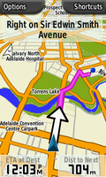
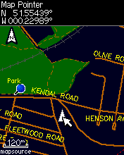
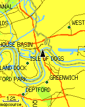
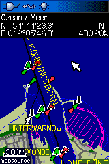
Screenshots of results
Development
If you want to take part in the mkgmap development please start by subscribing to the mkgmap mailing list. The development wiki page gives info about the mkgmap repositories and how to build mkgmap from the scratch.
Licence
The software is licensed under the GPL version 2. The maps it produces are to be licensed according to the data they were derived from: Open Database License (ODbL) for OSM data. There is therefore no licensing conflict that might exist with other approaches.
Help
- Main article: Mkgmap/help
If you need help then try the following:
- Ask a question in the mailing list. The mailing list can be accessed using any newsgroup reader (eg. Thunderbird) using the following settings:
- Server: news.gmane.org
- Group name: gmane.comp.gis.openstreetmap.mkgmap.devel
- There is also an archive of the mailing list.
The mailing list is very active and will usually produce the fastest response.
Alternatively:
- Ask a question on the Garmin maps section of the OSM forums
- Ask a question in the OSM help centre
- Ask a question on the talk page
Links
More on mkgmap
- Mkgmap official website with downloads and news on mkgmap development
- Mkgmap official documentation with command line options, style and TYP compiler documentation.
- mkgmap/dev - Details on mkgmap development
- mkgmap/routing - Some relatively out-of-date info on generating routable maps
- mkgmap/i18n - The internationalization page
Related OSM pages
- OSM Map On Garmin - General overview on creating maps for Garmin.
- OSM Map On Garmin/POI Types - List of different POI types and how they look on different devices
- OSM Map On Garmin/Download - Download img files created from OSM data.
- OSM Garmin ID - Overview of OSM Garmin Family ID's that are in use
Downloadable Maps
There are several websites that provide ready compiled maps for Garmin devices. The maps differ in region, use case (auto routing, hiking etc.) and visualization.
- OSM Map On Garmin/Download - List of map providers
- Free maps for Garmin brand GPS devices- Creates maps with individual region selection
Aspro OpenStreetMap Garmin Maps- Monthly updated maps for nearly any country / continent.
Miscellaneous
- Tutorials and guides to creating maps with mkgmap
- OSM Map On Garmin/Cycle map - Making a cycle map with mkgmap.


