NoName (historical)
|
NoName (Discontinued) | |
|---|---|
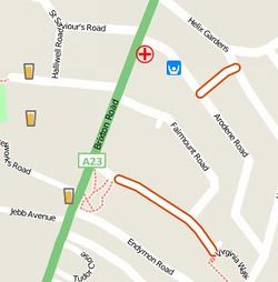
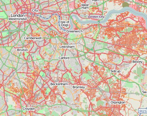
 While zoomed in, the noname map helped identify individual streets that had been missed (highlighted with orange casing) |
The NoName map layer used to be available on the openstreetmap.org front page as an alternative layer. It highlighted roads which had no name=* tag (At the time these tended to be those roads which had been traced in from imagery through armchair mapping, rather than having been surveyed at all)
No longer available - Alternatives
The NoName layer is no longer available, however there are other tools which highlight missing names on a map
- OSM Inspector, with the 'Highways' view.
- Yet another validation tool for osm data
- Qa.poole.ch (QA tool)
- StreetComplete
NoName tag
We can distinguish a road where the name is unknown and a road which has really no name.
noname=yes can be used to mark the absence of a name i.e. where something really does not have a name in reality.
CloudMade's original map
For several years a noname map was provided by CloudMade. This was included on the OpenStreetMap.org front page (Featured tiles).
It showed red casing at higher zoom levels, or as thin red lines at lower zoom levels. After being removed from the openstreetmap.org homepage, it remained available a maps.cloudmade.com, rendered as part of their style-editor infrastructure for a time. That's all no longer available.

Garmin .img files
Cloudmade also provided noname .img files for use on Garmin GPS units. They have not been updated since 2011, so are not usable for identifying unnamed objects.

