Paper mapping
A simple mapping technique is to write notes or draw maps on paper. You can write down notes or make drawings in a format you like and later use them to map. Below are specific paper based mapping techniques.
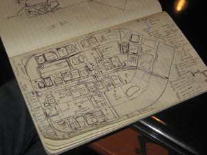
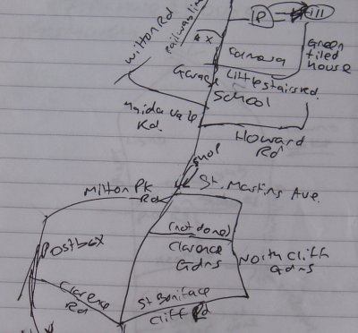
Hand-drawn maps of city streets
In dense cities, one-way systems and grids of roads, it can be difficult to record the hundreds of street names encountered.
One method is to sketch how the streets intersect (not to scale), and correlate that later with the pattern of tracklogs generated.
Another technique is the two-pass approach, to record tracklogs, then go back with a printed map of street outlines from OSM and fill-in the road names by reading road signs.
A one-pass variant of the two-pass approach is to use aerial imagery (instead of track logs) to make the outline, then print out the untagged segments (i.e. a JOSM screenshot), then go write down road names.
If you don't have lots of space in your paper sheets, consider marking numbers in the print-out, then correlate those numbers to road names (or landmarks) in another sheet of paper.
Field Papers
- Main article: Field Papers
User prints black-and-white map of some region and then uses pen/pencil to collect information using text and/or special signs.
This technique is similar to a hand-drawn map, but it gives you a head start with what we already know and you have the option of letting another volunteer edit the map from your notes.
Visit the web site and choose the area where you will be going, print out the OpenStreetMap for that area, then take it with you and make notes on what needs to be changed.
After you are finished making notes for an area, you can choose what to do with them. You can just look at your notes while editing the map normally or you can scan in your notes. After scanning, you, or any other map editor, can edit the map while using your notes on the screen as a backdrop.

