Project of the week/2010/Aug 15
< Project of the week | 2010
Jump to navigation
Jump to search
ScanEx company made their real-time satellite imagery available for OpenStreetMap project to map catastrophic fires in Russia. So, let's say thanks to ScanEx and start mapping!
- Before everything, check that you have enough skills to do this work. If not, please read some OSM how-tos in this Wiki.
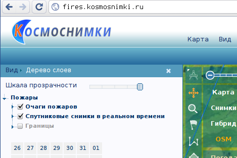
- Visit http://fires.kosmosnimki.ru/. Check that you have “Очаги пожаров” (“Fire epicenters”) and “Спутниковые снимки в реальном времени” (“Real-time imagery”) enabled, and also that you have selected the date you need:
- Find the burnt place. You may want to enable OSM layer. Zoom to this place and click it. Please note that you need to click the satellite image, not epicenter icon.
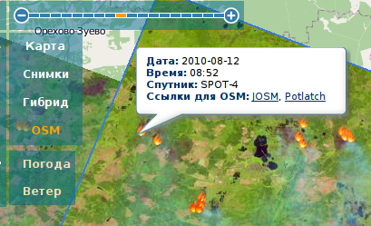
- Check that what you see is really a result of fire, and not something that has been there already for a long time. Enable the “Снимки” (“Imagery”) layer and disable “Снимки в реальном времени” (“Real-time imagery”) layer for some time. If you see woods or field at those usual images, and something brown at the real-time images, it's most likely the “burnt place” (term courtesy Komzpa).
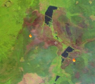

- Click the link “Potlatch”. Authorize, if needed. Choose “Edit with save” mode. Remember or copy to the clipboard the date of the image, as you'll need it later.
- Before mapping, enable GPS tracks display and try to align your image with the tracks you see. Images are real-time and are almost raw, so they may not be well-positioned. Hold space key and move mouse to drag the image.
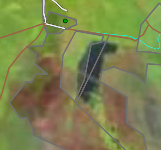
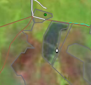
- Outline the burnt place. To start outline, click the canvas, to end it, click the first node.
Tag it as either landuse=forest or landuse=field plus the tag specifying the date of fire: burnt=YYYY-mm-dd, where YYYY-mm-dd is the date of the image.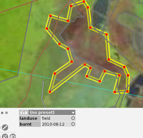
- When you've mapped everything, don't forget to save your work. Feel free to add a changeset comment "Outlined from fires.kosmosnimki.ru imagery".
Wait until the upload process completes. If you have enough skills, you can map everything else you see around, including fields and woods not yet eaten by fire. Don't set burnt= tag for them, however. - If you want to map something from another image return back to fires.kosmosnimki.ru and repeat this routine once more.