Uploads by Grahamjones
Jump to navigation
Jump to search
This special page shows all uploaded files.
| Date | Name | Thumbnail | Size | Description | Versions |
|---|---|---|---|---|---|
| 18:12, 17 July 2011 | Three Villages Native Tree Walk Map.png (file) |  |
882 KB | A mapnik rendering of hte Three Villages Native Tree walk route near Hartlepool (Relation 106072). | 1 |
| 06:01, 8 June 2011 | Townguide book.pdf (file) | 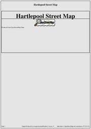 |
146 KB | Example of a booklet produced by townguide | 1 |
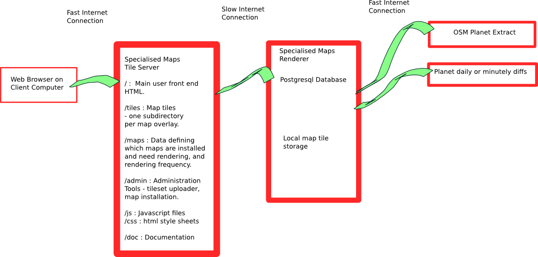
| 13:46, 21 February 2011 | Overview schematic.png (file) |  |
91 KB | Schematic of Specialised Maps tile rendering concept. | 1 |
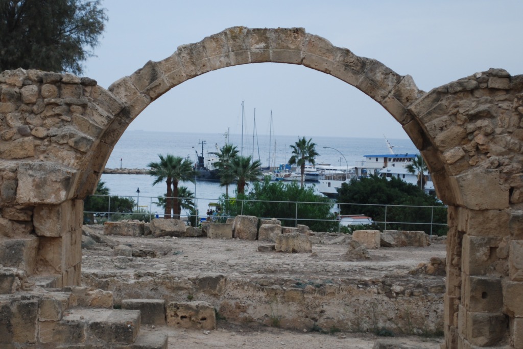
| 20:41, 28 May 2010 | Byzantine fort.jpg (file) |  |
201 KB | Paphos Byzantine fort (historic=ruin) | 1 |
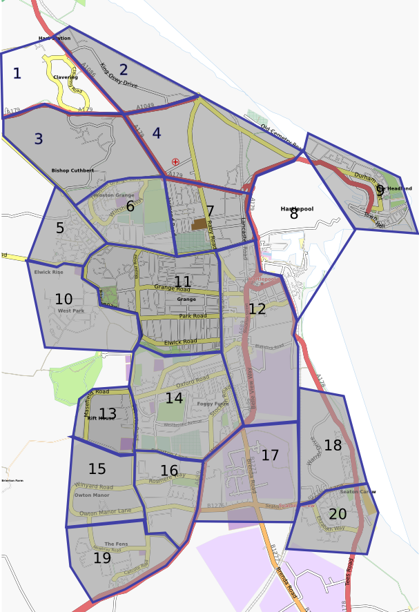
| 14:14, 2 May 2010 | Hartlepool Mapping Areas.png (file) |  |
346 KB | Headland, West View and King Oswy now shown complete | 7 |
| 22:02, 21 March 2010 | Example2 london.pdf (file) | 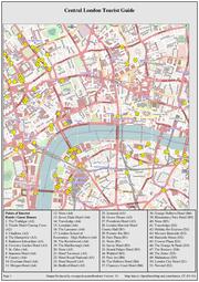 |
1.38 MB | Example PDF output from townguide. | 1 |
| 22:19, 17 March 2010 | Tick.svg (file) |  |
756 bytes | Image of a Tick to use in 'to do' list tables etc. | 1 |
| 21:31, 26 March 2009 | AudioMapperMIDLet.png (file) |  |
30 KB | Schematic showing how a mobile phone midlet could allow lat/long tagged audio clips to be recorded to help me remember street names... | 1 |
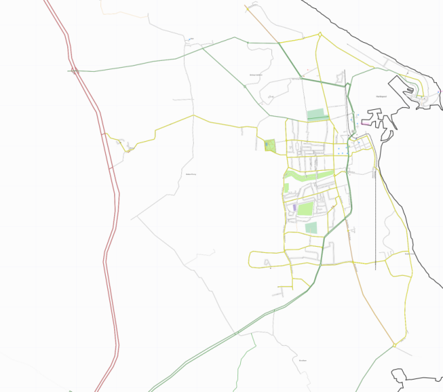
| 19:00, 22 May 2007 | Hartlepool 21may2007.png (file) |  |
122 KB | Snapshot of OSM data for Hartlepool on 21 May 2007. Produced using osmarender. | 1 |