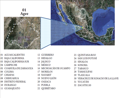
State Geostatistical Area (AGEE)
Jump to navigation
Jump to search
It is the land area that contains all the municipalities belonging to one state (or delegations for the case of the Federal District), defined by "geostatistical limits" who comply to the extent possible, to the political-administrative boundaries.
Corresponds to the geographical area of each of the 32 states of the country (31 states and the Federal District, making a total of 32 AGEE).
It is coded according to the alphabetical order of their official names, with a length of two digits, from 01 onwards, as the number of states that current laws specify; currently there are 32 states (Aguascalientes 01, Baja California 02 ... and Zacatecas 32).
