TangoGPS
| TangoGPS | ||||||||||||||||||||||||||||||||||||||||||||||||||||||||||||||||||||||||||||||||||||
|---|---|---|---|---|---|---|---|---|---|---|---|---|---|---|---|---|---|---|---|---|---|---|---|---|---|---|---|---|---|---|---|---|---|---|---|---|---|---|---|---|---|---|---|---|---|---|---|---|---|---|---|---|---|---|---|---|---|---|---|---|---|---|---|---|---|---|---|---|---|---|---|---|---|---|---|---|---|---|---|---|---|---|---|---|
| Author: | Marcus Bauer | |||||||||||||||||||||||||||||||||||||||||||||||||||||||||||||||||||||||||||||||||||
| License: | GNU GPL | |||||||||||||||||||||||||||||||||||||||||||||||||||||||||||||||||||||||||||||||||||
| Platforms: | Openmoko Linux and Linux | |||||||||||||||||||||||||||||||||||||||||||||||||||||||||||||||||||||||||||||||||||
| Status: | Broken | |||||||||||||||||||||||||||||||||||||||||||||||||||||||||||||||||||||||||||||||||||
| Version: | 0.99.4 (2010-06-25) | |||||||||||||||||||||||||||||||||||||||||||||||||||||||||||||||||||||||||||||||||||
| Languages: | German, English, and ...
| |||||||||||||||||||||||||||||||||||||||||||||||||||||||||||||||||||||||||||||||||||
| Source code: | http://github.com/emka/osb2tango/tree/master | |||||||||||||||||||||||||||||||||||||||||||||||||||||||||||||||||||||||||||||||||||
|
Logger even for heartrate-monitors! |
||||||||||||||||||||||||||||||||||||||||||||||||||||||||||||||||||||||||||||||||||||
| ||||||||||||||||||||||||||||||||||||||||||||||||||||||||||||||||||||||||||||||||||||
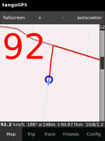
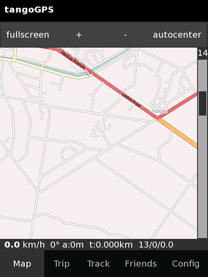
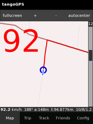
tangoGPS is a mapping application running on Linux, especially suited to small computers like the Openmoko Neo phones and eeePC but not limited to small computers. tangoGPS defaults to using OSM maps. If connected to a GPS device, a track can be logged and processed later for addition to OSM.
Development of tangoGPS appears to have stopped. The related project FoxtrotGPS was forked from the tangoGPS code and is still under active development.
Available Maps
You can choose between Mapnik, Osmarender and Cycle Map. Additionally the GUI allows to add a custom map repository.
Map tiles are cached and reused. The context menu allows autodownload of lower zoom levels. Version 0.99.4 can update tiles by pressing F5 key. Only the tiles in the current view will be updated (no bulk or massive update).
Using together with OpenStreetBugs
The OpenStreetBugs website is no longer operational, but the following notes may still be useful for other conversions.
tangoGPS does not display waypoints, but the program is able to read POIs (Points of Interest) from its own sqlite POI database.
A script to read the GPX file from OpenStreetBugs ("As GPX file" on the left) and store it in the POI database is available (repository, .tar.gz). You may also want to download the empty-poi.db file, which is just the empty database ready to be filled.
Put the poi.db inside ~/.tangogps and select "show POIs" in the tangoGPS context menu.
Links
For current information, please see the related project FoxtrotGPS.
- To convert tracks logged by tangoGPS into GPX format, you can use this convert script or a general purpose converter.
- TangoGPS on Openmoko.org wiki


