User:Wodo
| Userboxes | |||||||||
|---|---|---|---|---|---|---|---|---|---|
| |||||||||
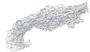
I am very often on a trail in the mountains. So I am very interested in the information about the European Alps. The location and names of peaks, mountain ranges, valleys, streams, rivers and lakes are an important basis for me to plan my tours. On the spot I need more information about accommodations and catering possibilities. Whenever possible, I plan my journey either by bicycle, train or bus. Thus, the information about the available transport routes, stops and parking spaces are another basic building block for my successful tour planning.
In order for the long-term use of the Alps by us people to remain possible, appropriate behaviour is absolutely necessary. The livelihoods of people, animals and plants must not be endangered by inappropriate behaviour on tour.
With the Alpine Convention, a tool has been created with which the current use and future development of the Alpine region can be monitored and managed at all levels of society within a European context.
So for me, OpenStreetMap is about preparing more information about the Alps based on the Alpine Convention so that I can use it for my adventures in the mountains in the future.
