Featured images/Jan-Mar 2012
Jump to navigation
Jump to search
These are featured images, which have been identified as the best examples of OpenStreetMap mapping, or as useful illustrations of the OpenStreetMap project.
If you know another image of similar quality, you can nominate it on Featured image proposals.
| ← from January to March 2011 | ← from October to December 2011 | from April to June 2012 → | from January to March 2013 → |
Gallery of featured images, from January to March 2012
Details and captions
Week 1 (from Monday 2 January 2012 to Sunday 8 January 2012) [Edit]
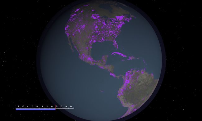
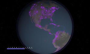
- English : A year of OSM - video showing editing activity during 2011
Week 2 (from Monday 9 January 2012 to Sunday 15 January 2012) [Edit]
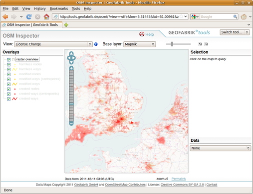
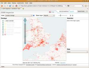
- English : OSM Inspector License Change View is a useful tool for Remapping in preparation for the upcoming license change
Week 3 (from Monday 16 January 2012 to Sunday 22 January 2012) [Edit]
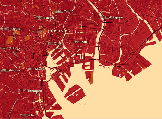
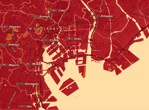
- English : Tokyo [as rendered in red by CloudMade] -- hosts for State Of The Map 2012
Week 4 (from Monday 23 January 2012 to Sunday 29 January 2012) [Edit]
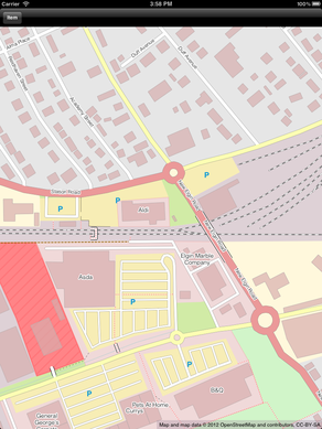
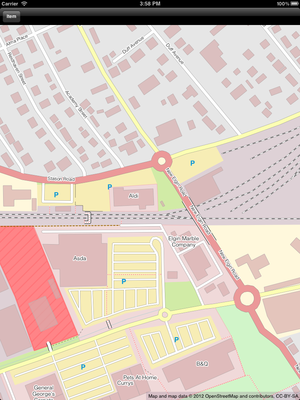
- English : OpenStreetPad is a MapCSS based OpenStreetMap renderer for iPhone and the iPad.
Week 5 (from Monday 30 January 2012 to Sunday 5 February 2012) [Edit]
- English : The Forbidden City in Beijing
Week 6 (from Monday 6 February 2012 to Sunday 12 February 2012) [Edit]
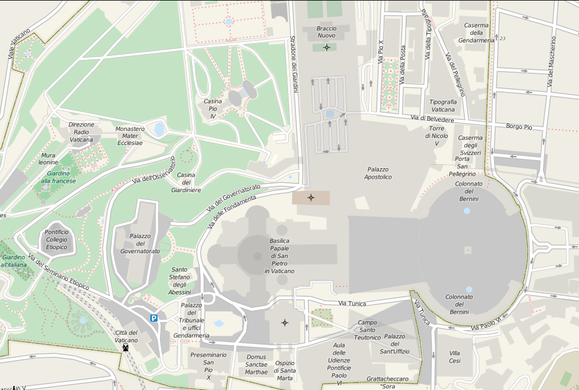
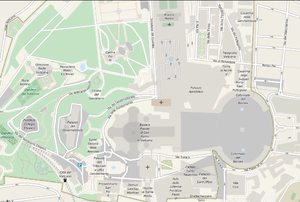
- English : Detail of Vatican City
Week 7 (from Monday 13 February 2012 to Sunday 19 February 2012) [Edit]
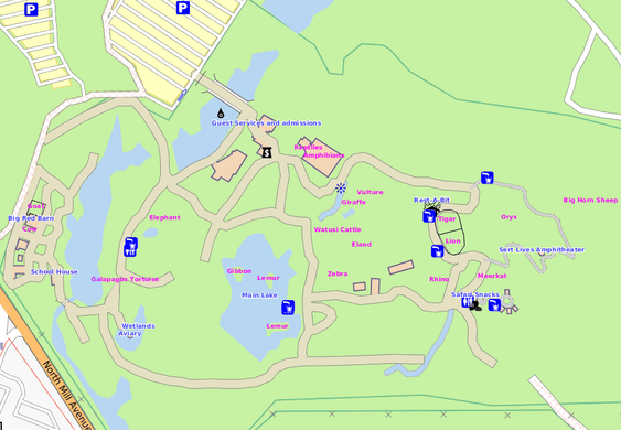
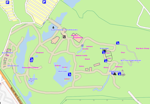
- English : Phoenix Zoo (pictured) and others around the USA are starting to follow Berlin's example of being detailed in the OSM maps.
Week 8 (from Monday 20 February 2012 to Sunday 26 February 2012) [Edit]
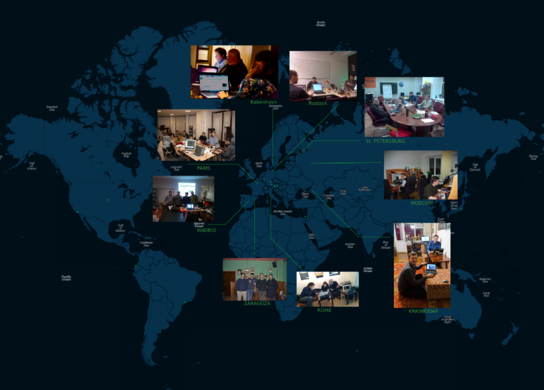
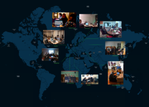
- English : Teams around the world took part in Night of the living maps, adding data from Aerial imagery
Week 9 (from Monday 27 February 2012 to Sunday 4 March 2012) [Edit]
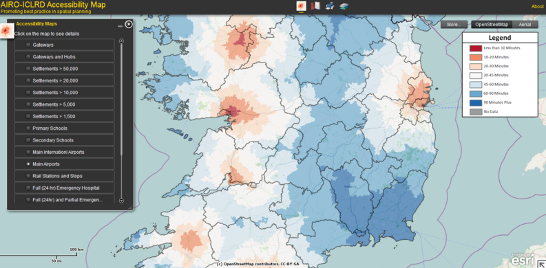
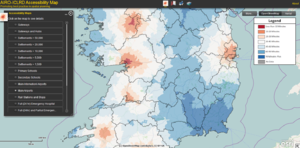
- English : Travel-time to airports in Ireland: AIRO-ICLRD's Accessibility Map idea chooses OSM as base layer
Week 10 (from Monday 5 March 2012 to Sunday 11 March 2012) [Edit]
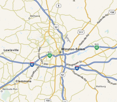
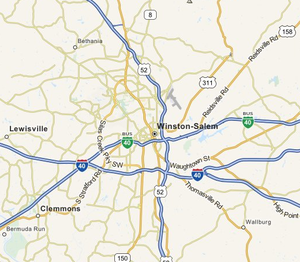
- English : MapQuest Open tiles, showing their improved highway-labels
Week 11 (from Monday 12 March 2012 to Sunday 18 March 2012) [Edit]
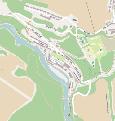
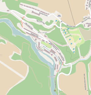
- English : Results from the New Lanark mapping party
Week 12 (from Monday 19 March 2012 to Sunday 25 March 2012) [Edit]
- English : Clusters of tag usage in Edinburgh, shows types of contributor by the tags they use
Week 13 (from Monday 26 March 2012 to Sunday 1 April 2012) [Edit]
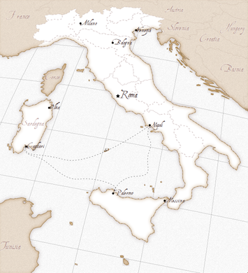
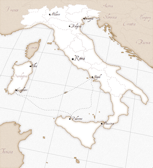
- English : Kartograph's rendering of Italy, showing just how much can be done in JavaScript.

