Glosm
Jump to navigation
Jump to search
| Glosm | ||||||||||||||||||||
|---|---|---|---|---|---|---|---|---|---|---|---|---|---|---|---|---|---|---|---|---|
| Author: | User:AMDmi3 | |||||||||||||||||||
| License: | GNU GPL v3 (free of charge) | |||||||||||||||||||
| Platforms: | Windows and Linux | |||||||||||||||||||
| Version: | 0.0.3 | |||||||||||||||||||
| Language: | English
| |||||||||||||||||||
| Source code: | https://github.com/AMDmi3/glosm | |||||||||||||||||||
| Programming language: | C++ | |||||||||||||||||||
|
Framework for developing high-performance geospatial data visualization applications of both interactive and batch nature featuring OpenGL-based 3D first-person and tile renderers |
||||||||||||||||||||
| ||||||||||||||||||||
Glosm is hardware-accelerated OpenGL-based OpenStreetMap renderer by User:AMDmi3. Both tile rendering and realtime first-person viewer are supported.
Tags
Buildings
There are some notable tags this software supports:
- height=*
- min_height=*
- building:levels=*
- building:min_level=*
- building:ground_level=*
- building:skipped_levels=* (User_talk:Jongleur/MultiLevel_Building_Shapes)
to determine height of 3D objects (buildings, barriers). See User:Jongleur/MultiLevel_Building_Shapes. Height of one level is taken as 3 meters, for some 1-level buildings 1 meter is added for basement.
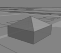
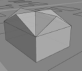
Supported roof tags
- roof:shape=* type of roof (see File:Roofs.png)
- roof:angle=* pitch of roof in full degree
- roof:orientation=* orientation along or across a rectangular shape
- across
- along
Media
glosm-0.0.3 (development)
glosm-0.0.2
A flyover of Gjøvik, Norway using glosm-viewer : http://www.youtube.com/watch?v=f3anglvpyU0
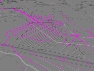
Glosm rendering of an area of Moscow


