MapDroyd
| MapDroyd | ||||||||||||||||||||||||||||||||||||||||||||||||||||||||||||||||||||||||||||||||||||
|---|---|---|---|---|---|---|---|---|---|---|---|---|---|---|---|---|---|---|---|---|---|---|---|---|---|---|---|---|---|---|---|---|---|---|---|---|---|---|---|---|---|---|---|---|---|---|---|---|---|---|---|---|---|---|---|---|---|---|---|---|---|---|---|---|---|---|---|---|---|---|---|---|---|---|---|---|---|---|---|---|---|---|---|---|
| Author: | CloudMade | |||||||||||||||||||||||||||||||||||||||||||||||||||||||||||||||||||||||||||||||||||
| License: | Proprietary (free of charge) | |||||||||||||||||||||||||||||||||||||||||||||||||||||||||||||||||||||||||||||||||||
| Platform: | Android | |||||||||||||||||||||||||||||||||||||||||||||||||||||||||||||||||||||||||||||||||||
| Status: | Broken | |||||||||||||||||||||||||||||||||||||||||||||||||||||||||||||||||||||||||||||||||||
| Version: | v1.1.6 (2012-05-23) | |||||||||||||||||||||||||||||||||||||||||||||||||||||||||||||||||||||||||||||||||||
| Languages: | English and German
| |||||||||||||||||||||||||||||||||||||||||||||||||||||||||||||||||||||||||||||||||||
| Website: | http://www.mapdroyd.com | |||||||||||||||||||||||||||||||||||||||||||||||||||||||||||||||||||||||||||||||||||
|
Offline vector map viewer for Android. Compact one-off data downloads |
||||||||||||||||||||||||||||||||||||||||||||||||||||||||||||||||||||||||||||||||||||
| ||||||||||||||||||||||||||||||||||||||||||||||||||||||||||||||||||||||||||||||||||||
MapDroyd (mapdroyd.com) was an offline vector map viewer app for Android. It was free but closed-source, created by German company OneStepAhead, which is now part of CloudMade. The programme is no longer functional as it depends on a server (mapdroyd.com) to provide the initial map downloads; without the map files, the .APK is useless. The last map update was in early 2013; as of 2016 the app has been removed from the Google Play Store and abandoned.
There is a nice video OpenStreetMap, from the Kabul Airport to Jalalabad which described OSM in general and using MapDroyd to view maps.
Pros and cons:
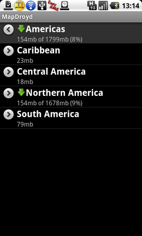
- + Works with very compact offline maps. For example, the map for California is 154Mb, while the new, compact PBF format can only bring it down to no less than 300Mb.
- + The maps can be downloaded per country directly from the app
- - The maps for MapDroyd can only be compiled by the vendor
- - The maps don't show some of the OSM features. They lack e.g. pubs and tourist attractions.
- - The map rendering for rivers is poor. See e.g. the river Elbe in Hamburg, Germany. Installing coast lines does not improve this.
- - There seems to have been only a little further development since summer 2009.
- + free
- - not open sourced
- - some large lakes like Lake Mälaren are not displayed
A sister app called NavDroyd offered navigation features, also offline, but paid for. Both apps have been discontinued.
Getting the maps working in the emulator
- Create an emulator image with enough space for the image you want to download.
- If downloading within the app does not work (didn't for me) then
- Create a directory /sdcard/GeoMapData
- Download the index and find the file name you want (e.g: Europe/Great Britain.smd)
- If this doesn't work first time, change your browser user agent to "MapDroyd"
- Download the appropriate SMD file (e.g: Great Britain)
- Put the SMD file into the GeoMapData directory
- Load the app and use the "geo" emulator console command to set your position.
History
The retired application TourIST seems to be a precursor to MapDroyd. They both use the same set of icons at the bottom, and the same scale bar at the top of the screen. The "osa" in the package name com.osa.android.tourist probably stands for OneStepAhead.
Gallery
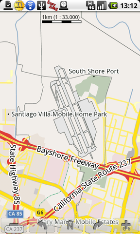
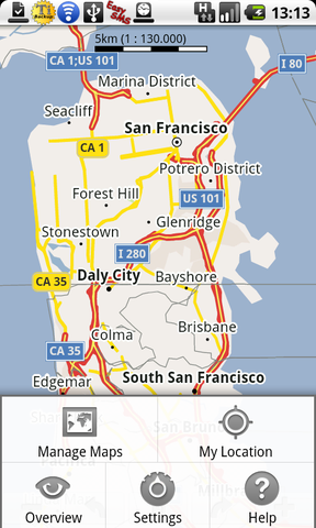
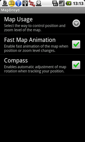
- MapDroyd 0.9.8.6d
