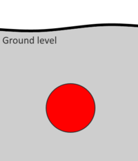
Tag:location=underground
| Description |
|---|
| Indicate a given feature is buried or dug under the surface of the ground. |
| Group: placement |
| Used on these elements |
| Requires |
|
| Useful combination |
| See also |
| Status: de facto |
| Tools for this tag |
|
This tag is suitable for any feature located under the ground surface and may not be actually visible at a time of a surface survey.
Is it however possible to survey underground or from manholes (when opened by authorized personnel only).
The tag has also been used for features which may be partly above ground, but the principal part of which is located underground, for example with amenity=recycling or amenity=waste_disposal.
Renderings
OpenStreetMap Carto may hide features with this tag from view, for example, if used on railway=platform for underground platforms.
Concerns with verifiability
As verifiability is an important concept in OSM, buried features may not comply with this principle.
Highway/railway/waterway tunnels should normally be verifiable since they are often visible or accessible by car, train or on foot.
When it comes to underground pipes or cables, markers may indicate the existence of a feature which is not visible from above ground. Such features may be considered sufficiently significant for the underground element to be added to OSM.
You should refer to Verifiability guidelines page at every survey you make of underground equipment.

