Tag:waterway=stream_end
Jump to navigation
Jump to search
| Description |
|---|
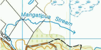
| The natural end of a stream (where it seeps into the ground). |
| Group: waterways |
| Used on these elements |
| See also |
| Status: in use |
| Tools for this tag |
|
The natural end of a stream (where it seeps into the ground).
How to map
Tag the last node ![]() of the stream with waterway=stream_end
of the stream with waterway=stream_end
