FR:Featured images/Apr-Jun 2009
Jump to navigation
Jump to search
Voici quelques images remarquables, ce qui veut dire qu’elles ont été sélectionnées comme étant parmi les meilleurs exemples de cartographie basée sur les données d’OpenStreetMap, ou qu’elles apportent une illustration utile du projet OpenStreetmap.
Si vous avez une image répondant à cette définition, vous pouvez la proposer sur la page des Propositions d’image remarquable (en).
| ← de janvier à mars 2009 | de juillet à septembre 2009 → | d’avril à juin 2010 → |
Galerie des images remarquables d’avril à juin 2009
Détails et descriptions
Semaine 14 (du lundi 30 mars 2009 au dimanche 5 avril 2009) [Edit]
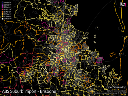
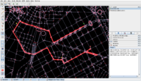
- English : With the recently finished ABS Import of suburb boundary data, all of Australia has relatively up-to-date suburb boundary information. Image shows progress of import in Brisbane area, created using OSM Mapper.
Semaine 15 (du lundi 6 avril 2009 au dimanche 12 avril 2009) [Edit]
Semaine 16 (du lundi 13 avril 2009 au dimanche 19 avril 2009) [Edit]
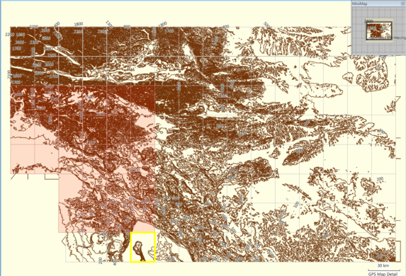
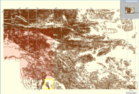
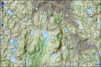
- English : GroundTruth-generated relief contours map for Garmin GPS units. The elevation data source is SRTM. This is a MapSource screenshot of map tiles. See here for more info.
Semaine 17 (du lundi 20 avril 2009 au dimanche 26 avril 2009) [Edit]
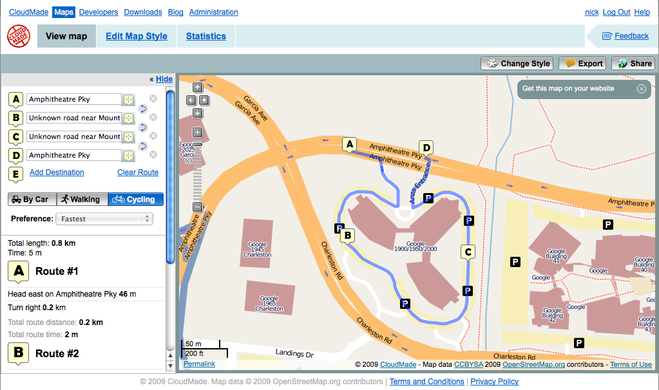
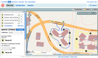
- English : CloudMade's routing API gives turn-by-turn directions for vehicles, bicycles and pedestrians - all powered by OSM data (shown: route around Googleplex)
Semaine 18 (du lundi 27 avril 2009 au dimanche 3 mai 2009) [Edit]
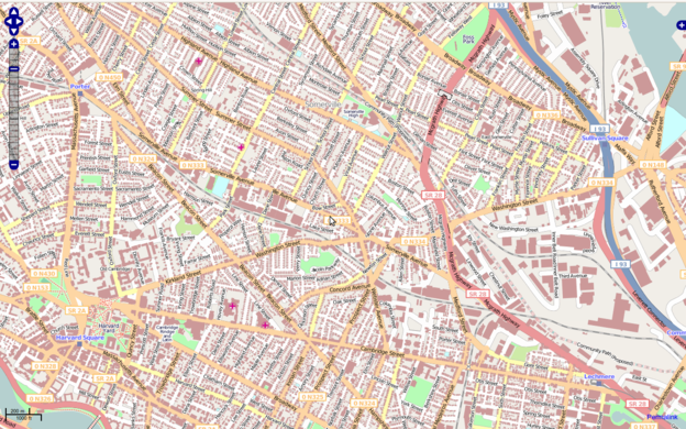
- English : The building and open space layers from MassGIS for large swathes of Massachusetts have been imported thanks to effort by User:crschmidt and others in the region. [1]
Semaine 19 (du lundi 4 mai 2009 au dimanche 10 mai 2009) [Edit]
- English : Sir Tim Berners-Lee recently received both a doctor honoris causa award (for his outstanding contributions to the WWW [2][3]) and a hi-viz vest (for his outstanding mentions of OSM [4])
Semaine 20 (du lundi 11 mai 2009 au dimanche 17 mai 2009) [Edit]
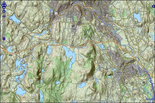
- English : TopOSM is a topographic view of OSM data
Semaine 21 (du lundi 18 mai 2009 au dimanche 24 mai 2009) [Edit]
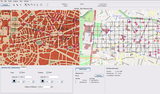
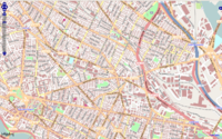
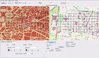
- English : MapAnalyst is an open source tool for distortion analysis in old maps, that uses OSM as a the default reference cartography. (Shown here: 1:50k map of Madrid dated from 1875)
Semaine 22 (du lundi 25 mai 2009 au dimanche 31 mai 2009) [Edit]
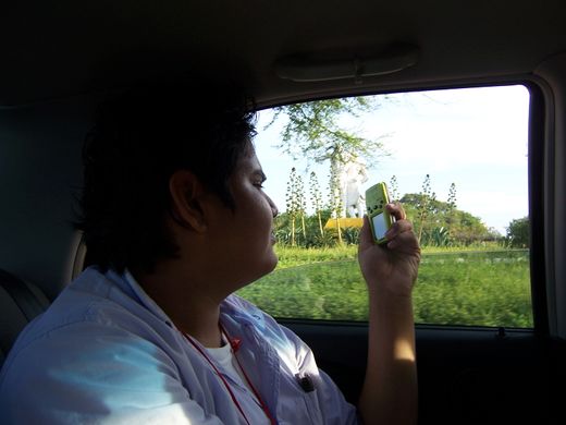
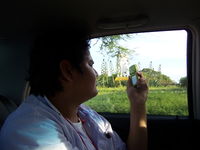
- English : The first GPS device donated by the OSM Foundation's GPStogo scheme at the mapping party and conference in Neiva Colombia
Semaine 23 (du lundi 1 juin 2009 au dimanche 7 juin 2009) [Edit]
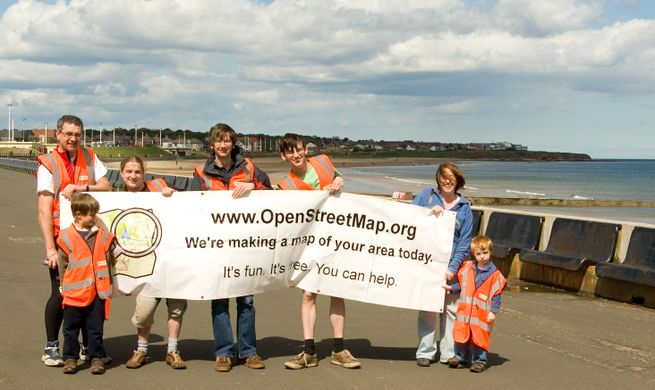
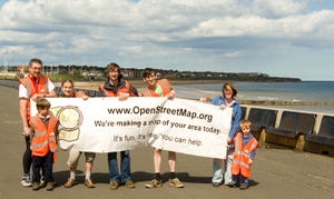
- English : The Sunderland Mapping Party being an example of the successful Mapping parties idea. Sunderland was chosen from the UK Mapping Priorities list.
Semaine 24 (du lundi 8 juin 2009 au dimanche 14 juin 2009) [Edit]
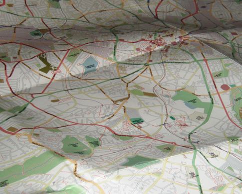
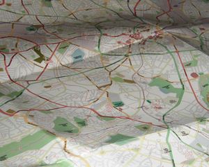
- English : A printed map of Birmingham is available thanks to the Mappa Mercia subproject
- français : Une carte imprimée de Birmingham est disponible, merci au projet Mappa Mercia
Semaine 25 (du lundi 15 juin 2009 au dimanche 21 juin 2009) [Edit]
- English : A "heat-map" of OpenStreetMap complexity worldwide (Tah-heatmap)
- français : Une "carte de chaleur" de la complexité mondiale d'OpenStreetMap. Regardez la version en pleine taille pour les détails.
Semaine 26 (du lundi 22 juin 2009 au dimanche 28 juin 2009) [Edit]
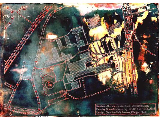
- English : The HaptoRender project has created the first tactile map using OpenStreetMap data.
- français : Le projet HaptoRender a créé la première carte tactile utilisant des données d'OpenStreetMap.

