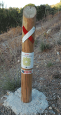
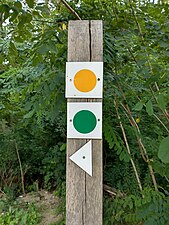
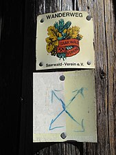
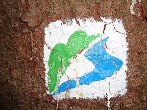
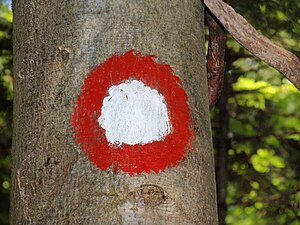
Tag:information=route_marker
Jump to navigation
Jump to search
| Description |
|---|
| A marker that shows the position of the way of a route. Could be a symbol, a short pole or a painted marking. |
| Group: tourism |
| Used on these elements |
| Requires |
| See also |
| Status: in use |
| Tools for this tag |
|
A marker that shows the position of the way of a route. Could be a symbol, a short pole or a painted marking.
Some mappers distinguish this tag from trail_blaze with route_marker being used solely when also indicating direction of the trail (with an arrow). Other mappers use these two interchangeably. See information=trail_blaze for more information.
How to use
Tag a marker that shows the position of the way of a route without providing information about destinations (in which case you would use information=guidepost) with information=route_marker on a node ![]() . Such a marker may or may not indicate by a symbol that it belongs to a particular route.
. Such a marker may or may not indicate by a symbol that it belongs to a particular route.
To describe access, you can use hiking=yes, bicycle=yes, mtb=yes, horse=yes or ski=yes.
Additional tags
- support=* – To describe what supports the marker (e.g. a tree, a post, a wall etc.)
Examples
Rendering
 - Osmand
See also
- osmc:symbol=* – Machine-Readable representation of route symbol that is used as waymarker or on guideposts.
- symbol=* – Human-Readable description of route symbol that is used as waymarker or on guideposts.
- trailblazed=* – A key for the use on paths or tracks which are marked.
- Trail blazing on Wikipedia


