Key:sac_scale
| Description |
|---|
| A difficulty rating scheme for hiking trails. |
| Group: properties |
| Used on these elements |
| Implies |
| Useful combination |
| Status: approved |
| Tools for this tag |
|
The key sac_scale=* is used to classify hiking trails with regard to the difficulties to be expected.
The scale discerns seven grades in ascending level: From strolling up to difficult_alpine_hiking.
It does not cover visibility of the path; for that, see trail_visibility=*.
How to map
Add the key sac_scale=* to a way with one of the following primary feature tags:
- highway=path - A generic or multi-use path open to non-motorized traffic
- highway=footway - For designated footpaths, i.e. mainly/exclusively for pedestrians
- Any other unpaved way when appropriate (typically when they are used for hiking or leisure walking), like highway=track or possibly highway=service and highway=unclassified. In these cases, sac_scale=* most likely will be strolling, hiking, or very rarely mountain_hiking (if hazardous/slippery, map navigation required, etc.)
General notes
- Use this tag mostly on ways used for hiking, as it solves a domain specific need. The scale was originally devised for mountainous areas, but has since been used in all sorts of environments where people hike or walk. Use common sense when applying it.
- This tag is subjective: where one might see hiking, another might see mountain_hiking; however, disagreements by more than one grade are much rarer.
Choosing the correct grade
- A way may not fit all of the criteria listed below for trail, terrain and requirements. In general, use the greatest difficulty that is matched and assess the way on the assumption of favourable conditions (no mist, no rain, summer).
- Most hiking trails that are found in printed maps fall into the strolling, hiking, mountain_hiking or demanding_mountain_hiking categories. In low mountain ranges, ways are often strolling or hiking only, although higher grades are possible.
- From T4 onwards, we are talking about alpine hiking. At this point UIAA climbing grading is used because the use of hands is already required. At UIAA I, hands are used to maintain a stable balance; at UIAA II, three limbs are fixed to holding points and one is always moved to move forward (three points of contact). If there are any glacier crossings, T4 and above are used.
Other hiking terms
- Mountaineering boots: Such boots are heavier and torsionally stiffer than the popular trekking or hiking boots. Ideally they make it comfortable to walk for hours with crampons, or at least make it easy to kick steps into snow crust or slippery soil. Although the more difficult a path, the more stable and ankle-high mountain boots are recommended by some. Others use all sorts of shoes for all sorts of terrain.
- Sure-footedness: The terminology is a little vague, but elementary sure-footedness is required already at T2; at T4, and especially from T5 on, it has to be very good because falls are potentially fatal.
Values
| Value | Equivalent SAC scale based on Swiss Alpine Club | Trail | Terrain | Requirements | Illustration |
|---|---|---|---|---|---|
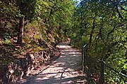
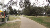
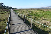
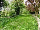
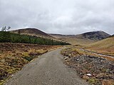
| strolling | none | Smooth trail with no obstacles usually wide enough to be walked side-by-side. No exposed areas.
Note that prior to the introduction of this tag in late 2024, these ways were being tagged as hiking; as of March 2025[update], most of them have not yet been updated to use strolling. |
Terrain level or very slightly inclined (ca. 6°); no risk of falling or tripping over minor obstacles. |
|

|
| hiking | T1 | Trail well cleared or with rather minor obstacles like roots, usually walked single file. Exposed areas well secured. | Terrain level or inclined; no risk of falling with appropriate behaviour. |
|

|
| mountain_hiking | T2 | Continuous trail, with somewhat bigger obstacles like stones or smaller rocks. Exposed areas made more secure. | Terrain steep in places and may pose fall hazards. |
|

|
| demanding_mountain_hiking | T3 | Obstacles like boulders. Exposed areas ordinarily secured with fixed ropes or chains. Use of hands for balance potentially needed. | Portions of the route exposed with danger of falling. Trail may have unmarked portions and cross fields of loose scree or talus. |
|

|
| alpine_hiking | T4 | Use of hands needed in order to advance in certain places (UIAA grade I). | Terrain already quite exposed, including steep grassy pitches, talus slopes, easy snowfields, or snow-free glacier crossings. |
|
 
|
| demanding_alpine_hiking | T5 | Individual easy climbing sections (UIAA grade I-II). | Exposed and demanding terrain. May include steep rock scrambles, glaciers and snowfields with risk of sliding. |
|
 
|
| difficult_alpine_hiking | T6 | Includes longer climbing pitches at UIAA grade II. | Severe exposure. Difficult craggy terrain. Glaciers with high risk of sliding. |
|
 
|
The illustration images above have been provided by Marco Volken, member of the SAC trail classification working group.
Relationship to Swiss Alpine Club Mountain and Alpine Hiking Scale
While based on the 2008 version of the SAC Mountain Hiking Scale[1], sac_scale=* received several enhancements since then, including the additional grade strolling which is its own thing. Also, trail visibility is not expressed with sac_scale=* in OSM, but with trail_visibility=*.
It is recommended that OSM tagging mirror the official grading in places where it is used like Switzerland and some parts of Austria. Hiking trails there are maintained and signposted by quango associations using a colour scheme: see German French Italian. The 2023 revision of the SAC Mountain Hiking Scale specifies a blurred matching[2]:
More pictures
| Examples of strolling. | |
| Trail well paved. Exposed areas well secured. strolling (or possibly very easy hiking). | |
| Path well cleared; terrain not level, if not steep; no sure-footedness required.
Results from a poll when asked if the picture shows strolling (5 votes), hiking (18 votes) or mountain_hiking (0 votes). Discussion centred around falling hazard. | |
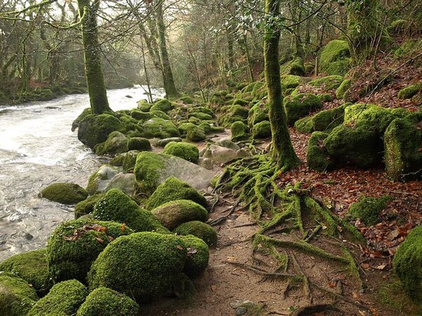
| Trail with minor obstacles (roots).
In a poll, all 23 who voted thought this picture shows hiking. In a previous poll 8 out of 13 voted "Yes" when asked whether the picture shows a "well cleared path". | |
| Continuous trail. Basic surefootedness required.
In a poll of the German community, 16 out of 31 thought this picture shows hiking while 15 considered it mountain_hiking. | |
| Trail not continuous.
In a poll, 5 out of 9 voted this picture shows mountain_hiking while 4 considered it demanding_mountain_hiking. | |
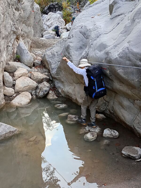
| In a poll, 9 out of 15 voted this picture shows demanding_mountain_hiking while 5 considered it mountain_hiking and 1 alpine_hiking. Obstacles can be classified as either smaller rocks or boulders. Some see exposure, some argue that thanks to the option of easy safe fording, there is no exposure. Use of hands while not fording potentially needed for balance, but not for advance (no strength needs to be exerted from the arms). Rope is used to make (for some) exposed areas more secure. Most likely do not see continuous trail. | |
| Parts of the route are exposed and there is a risk of falling. | |
| Severe exposure. Difficult craggy terrain.
In a poll, 4 out of 13 voted this picture shows demanding_alpine_hiking while 8 considered it difficult_alpine_hiking (one participant thought it was above the difficulty covered by sac_scale). | |
Granularity
Between two crossroads, a hiking trail can have varying difficulty. For example, it might be mountain_hiking most of the way, but in the middle, there might be a short stretch where you need to use your hands in order to advance, making it alpine_hiking. There are two approaches how to map this:
- Map the trail according to the highest difficulty found between the crossroads. Rationale: This makes it much more likely a user will not overlook the higher difficulty on a shorter stretch of path that he or she is not comfortable with. This is also easier to map as it needs less tagging and less segments. Disadvantage: User might assume the whole of the trail is a lot more demanding than it actually is.
- Split the trail into different segments with each having the appropriate sac_scale=* applied. Rationale: This reflects reality better and still lets renderers apply logic to display maps as if they were mapped according to approach 1 while still allowing routers to use the increased granularity to better guess time needed to traverse the trail. Disadvantages: A user might overlook a harder segment, more mapping work.
There is no consensus which approach is better.
Possible tagging mistakes
See also
- mtb:scale=* – a classification scheme for the difficulty of mountain biking on trails
- Relation of SAC scale to mtb:scale
- Consider using incline=up/down to specify the direction of the way up or down the mountain.
- climbing:grade:uiaa=* – UIAA Grade for Rock Climbing
- assisted_trail=* – Indicates that the dangerous or difficult sections of a hiking path are secured by technical means
- Hiking
- Hiking Maps to see how this tag is rendered by OSM hiking maps
- highway=via ferrata
- JOSM Mappaint style
- Approved proposal for this tag
- Approved proposal to add strolling to this tag


