User:Miroslavuzice87
I am a passionate mapper for Open Street Map.
| Miroslavuzice87 submits data to OpenStreetMap using JOSM. |
Micromapping

OSM Micromapping Wiki page is a huge deal for me, I just love all the details you can enter into the map. Micro mapping or micro-mapping in OpenStreetMap (OSM) refers to the mapping of small-scale features. This may include mapping such objects as a building entrance, as well as the footway and steps leading to that entrance. Another aspect is to improve the visual representation of scenery for 3D for example. Therefore this includes improving geometries (buildings, land use...) but also adding very small objects such as city furniture (street lamps, benches...) and village green (trees, hedges...)
Pros of micro mapping:
- allows 2D routing
- helps in indoor positioning systems

- brings a lot of details to the DB
- If done properly it will ease mapping in previously empty regions
Cons of micro mapping:
- more time consuming to enter data for mappers
- requires more accurate information (sometimes consumer GPS is not sufficient)
- sometimes makes it harder for beginners to alter the data
- If it is required in some proposals on OSM wiki, it may discourage people from using it
(technical) increase of volume will increase requirements in processing power
POI Mapping
Real importance to me is to have every shop, amenity, office, leisure (POI Point Of Interest) in Uzice. Trying to map every single shop. That's obviously a big job, and challenging because it's very difficult to know where the clusters of shops are, in order to figure out completion levels and plan mapping. Also challenging because shops change a bit. Some people say they change too much, so it's not worth mapping them, but I would disagree with that. But it does present a "maintenance mode" challenge. I'm in the habit of looking out, not just for missing clusters of shops, but also shops which look shiny and new. I do a lot of this mapping on a fly-by opportunistic basis. Sometimes I use Android app: Vespucci. Very good but takes a bit longer to learn. But anyway, for any slightly larger clusters of shops, or if I'm short of time, I just take lots of photos and upload them to Mapillary to later use them when importing data to OSM.
3D OSM Mapping
3D OSM can convey information that can then be rendered in 3D. To find tools developed that can process and show 3D OSM data, see 3D development.
Simple 3D Buildings is everything you need to start, but later on when want to do a complex buildings with a lot of parts you need to go dipper with 3D tagging and expect amazing results. A special kind of micromapping is to collect as much information as possible to get a realistic representation of your area in 3D. Most time it took me to create this perfect object is my elementary school in Uzice.

Building parts
I used a lot of this tagging. Parts of a building that have differing physical characteristics (height, color, etc) are usually modeled by drawing an area within the building outline tagged with the building:part=* tag. The value of the building:part=* tag is usually yes, but it can be any building=* value.
Personal links
Useful links related to my work, such as: "How did you contribute to OpenStreetMap?"; "Missing Maps Badges"; "Your OSM Heat Map"; "Mapillary":
OSM Microsoft - organised map edit
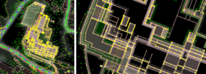
OSM HDYCmap - my map contribute
OSM MMapper - missing map badge
OSM Heat Map - my all edits on map
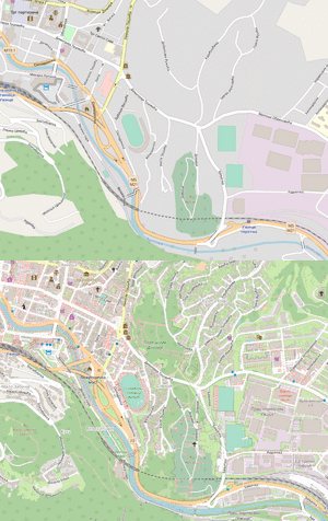
OSM Uzice Map - most proud project
OSM Mapillary - street_level imagery
Armchair mapping
"armchair mapping" involves mapping an area from aerial imagery, without planning to go there. Some people are quite strongly anti-armchair mapers, particularly in the UK, and this is a viewpoint I disagree with, because there are a lot of good aerial and street-level images.
| ||
| ||
|

