Key:ref:IE:smr
| Description |
|---|
| Reference number for the Sites and Monuments Records in the Republic of Ireland. |
| Group: references |
| URL pattern |
| https://heritagedata.maps.arcgis.com/apps/webappviewer/index.html?id=0c9eb9575b544081b0d296436d8f60f8&query=18a4b61b268-layer-9%2CSMRS%2C[VALUE] |
| Used on these elements |
| Useful combination |
| Status: de facto |
| Tools for this tag |
|
The ref:IE:smr key can be added to historical sites which are recorded in the Archaeological Survey of Ireland. Using that number and the link structure described in the infobox, you can find recorded monuments in the National Monuments Records which does not use GPS, but a numbering system based on paper maps by county.
The data in that database is held under Creative Commons Attribution 4.0 International licence[1].
You will find the number by visiting the map on Historic Environment Viewer and clicking on the red dot (pre-1700 AD records) at the location of the feature. The record number includes a reference to the county using two letters. If the string ends in one or more hyphens, it's very important to include these, because the link will not work otherwise.
Adding this reference can be useful to determine whether a site is recorded already. If the feature is not on the records, you can report it (pdf form) to the ministry and if approved, it will get its own number.
Examples
| Example on Historic environment viewer | Tags on OSM |
|---|---|
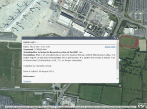
 The OSM tags for the same holy well, OSM Link | |
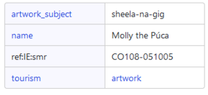
 Enclosure in Co. Tipperary, OSM Link | |
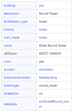
 Round tower in Kilree, Co. Kilkenny, OSM Link | |
Mapping mistakes
See also
- ref:IE:niah=* for post-1700 monuments ("blue dots")
- ref:IE:nm=* for National Monuments


