Featured image proposals/Archive 2007
Jump to navigation
Jump to search
Mobile OSM
|
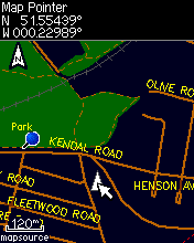
OpenStreetMap data can be used on mobile devices, thanks to tools such as Mkgmap (shown: map of Hammersmith) |
|
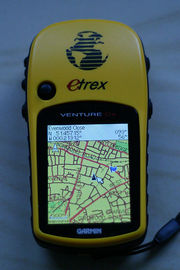
Another OSM map on garmin |
|
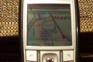
OSM map (osmarendered) on Nokia 6230i using Trekbuddy j2me app and bluetooth gps reciever. |
Taplow
|
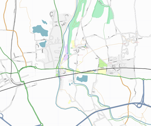
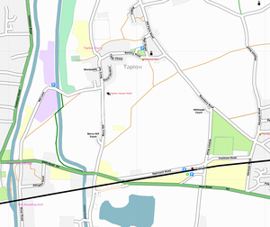
A small area centered on Taplow in South Buckinghamshire |
|
A larger-scale view of Taplow in South Buckinghamshire |
The Taplow maps were produced by a slightly modified version of Osmarender. The only manual tweaks were to make the road names readable on a couple of very short roads. Area data is partly from Landsat and partly from local knowledge.
- Would it be possible to frame the map to create a bolder, stronger image (highlighting a focal point or significant features)? Ojw 22:28, 8 November 2006 (UTC)
That german place again

|
The third most dense map tile, after Weybridge and Enfield, is Karlsruhe. Image was rendered by different people using their home computers in a distributed rendering project. |
London

|
The London mapping party will try to use aerial photography to create a map of London, rather than the traditional GPS |
Baghdad
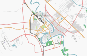
|
While most of us can't reach Baghdad with our GPS units, Yahoo! have provided aerial photos of it (and other cities around the world) to create maps from. |
Bath

|
The Bath mapping weekend resulted in this image of the area, which people are welcome to use on their websites (see the CC-BY-SA 2.0 license for details) |
Cambridge
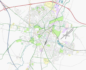
|
Thanks to the efforts of David Earl and others, the city of Cambridge (UK) is now completely mapped. Posters to follow... |
Osmarender

|
Osmarender 4 will add support for bridges and tunnels - see Key:bridge for how to tag them |
London
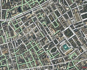
|
Yahoo! have allowed us to use their aerial photos in an applet, and trace Free-as-in-ShareAlike maps from them |

|
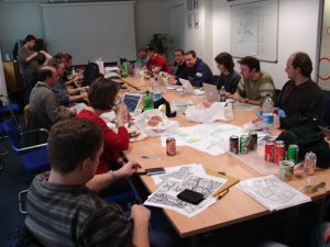
London, as seen after about 40 people mapped the place in a weekend |
|
Shhh, cartographers at work... |
Curvy maps
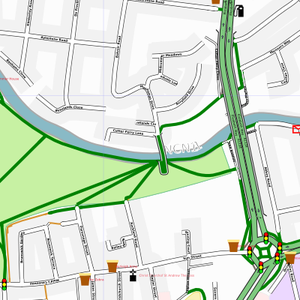
|
Butt's Green in Cambridge, rendered with the new curve smoothing algorithms in Osmarender. |
Farsi script
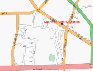
|
OpenStreetMap is an international project, and street names can be accepted in multiple languages. This map is of the area surrounding Sharif University of Technology in Tehran – the Iran/Tagging rules page shows how to edit maps in this area.
|

|
OpenStreetMap is an international project, and street names can be accepted in multiple languages. This map is of the area surrounding Sharif University of Technology in Tehran – the Iran/Tagging rules page shows how to edit maps in this area. |
Swaffham
|
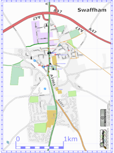
Swaffham |
Airport

|
Runways and taxiways of Heathrow airport |
Maemo mapper
|
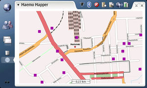
Southern England on MaemoMapper |

|
OSM on MaemoMapper |
Central London coverage

|
Central London, showing the detail now available there |
|
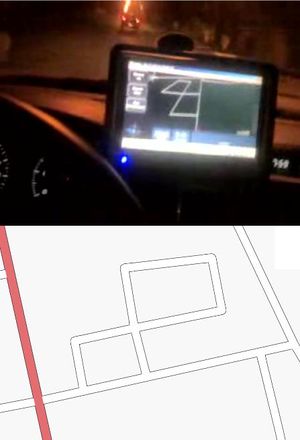
OSM map on roadnav, and below same area from osmarender Video1 video 2
North London
|
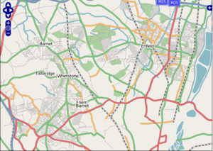
North London, as seen on the new Slippy map.. |
- The area has been updated quite a lot since this set of slippy map tiles were created. Looks even more complete nowadays. Welshie 16:37, 23 December 2006 (UTC)
- Quite a bit of wooded areas and footpaths added and considerably more roads infilled in Enfield. Would really benefit from being one zoom level in too. Steve8 23:58, 1 Jan 2007

|
North London, as seen on the Slippy map's tiles@home layer.. |
Is the coverage any better on the tiles@home layer?
Reading

|
The Reading mapping party added approximately (todo: calculate estimate) km of roads which are available for free download via the API |
Tracklogs
|
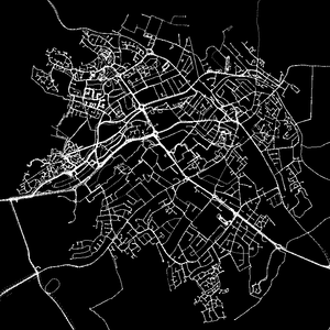
Motorcyclists are welcome in OpenStreetMap - mcn shows how much can be mapped |
Bedford
|
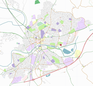
Bedford |
Curvy maps

|
Østerbro, a suburb of København |
First 100% coverage city in The Netherlands

|
Assen is the capital city of the province of Drenthe. It is the first city in The Netherlands which has a (near) 100% coverage in OSM. |
Name Finder

|
David Earl's Name Finder application in use. Try it out... |
Free-map and Geograph

|
Freemap, showing Bedford, with a Geograph photo open to show detail of a footpath |
Isle of Man

|
OpenStreetMap now has an excellent free map of the Isle of Man, thanks to data contributed by the Isle of Man Department for Local Government and the Environment, also by local mappers. |
Canterbury
|
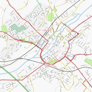
Canterbury centre, results from the South East Tip mapping party |