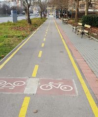
Path examples
As was humbly requested on the Proposal talk:Path, here's some example images of paths inadequately described or differentiated by tagging before the introduction of highway=path, as viewed by the users supporting it. This list is not yet comprehensive, no examples of byways as-specified-by-English-law exist in all countries.
Currently pictured cases are not the original reason for highway=path (except the first picture and the combined cycleway and footway type), but are listed here because of a request to clarify the effects of highway=path.
Since only the deprecation part was rejected, those taggings could still be used but with the added possibility of distinguishing between the designated for some use vs. not forbidden.
| Example | Description | Tagging |
|---|---|---|
|
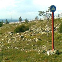
A path built and designated for snowmobile use. Foot traffic possibly "not permitted or unsuitable". | |
|
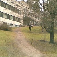
An urban path with no signs at all. Not really suitable for cycling but it's not forbidden, either. Area is public space so access not forbidden. Use on foot known to be possible and legal. | |
|
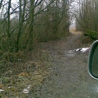
A path with no signs at all but too narrow for motorcars so it's not a highway=track but starts from the end of a track. Allowed and not totally unsuitable for cycling, but known to be walkable. | |
|
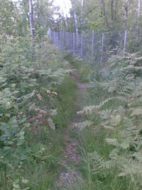
A path through an urban forest as in "there is something used for transport"; walking is possible on dry and non-winter days with a sure foot, but you wouldn't route anyone there. | |

|
A path designated for pedestrians and cyclists equally. Possibly horse access is not allowed, depends on local law. |
or
|

|
An urban path on which motorized vehicle access is forbidden. As above but no guarantees on passability. Likely without restrictions on horses. Access on foot and on a bicycle is known to be legal and possible. |
Implied by path, but specifically indicated so could be tagged anyway: |
|
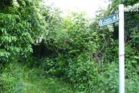
A Public Footpath under law in England & Wales. Foot traffic has legal right of way.
A footway has a different definition under UK law. |
|
|
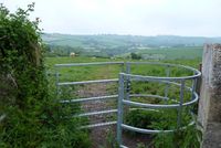
An unmarked footpath across UK country-side. Safe to assume public access (not right of way), verify with Survey Office | |

|
A designated footway. |
or: |
|
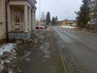
A sidewalk without signs (if drawn as a separate way) |
or |

|
A path on which only cycling is allowed. |
or |

|
A path on which motorized vehicles and horses are forbidden. |
Implied by path, but it's explicitly signed so could be tagged: or |
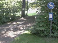
|
Bridleway |
or |
|
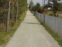
3m wide gravel path. Local knowledge [1] indicates that this is a shared-use path (“It is open to bicyclists, hikers, joggers and horseback riders in the spring, summer and fall and to snowmobilers, skiers and dog sledders during the winter...No ATV’s are allowed on the trail.”) | |
|
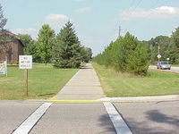
2.5m wide asphalt concrete path. It is signed “No motor vehicles,” and local knowledge [2] indicates that it is a shared use path (“...is a hiking and biking trail...”). | |
| Pacific Crest Trail in California, Oregon, and Washington, USA | ||
| Segregated cycle- and footway with different surfaces. |
